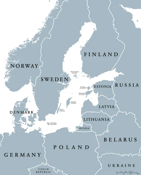
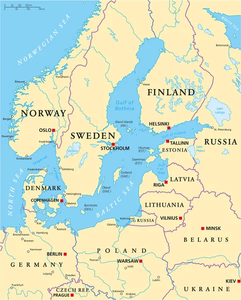
Stock vector Baltic Sea Area Political Map
Published: Feb.13, 2015 11:48:29
Author: Furian
Views: 2884
Downloads: 25
File type: vector / eps
File size: 2.47 MB
Orginal size: 6000 x 7437 px
Available sizes:
Level: silver