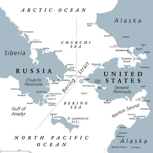
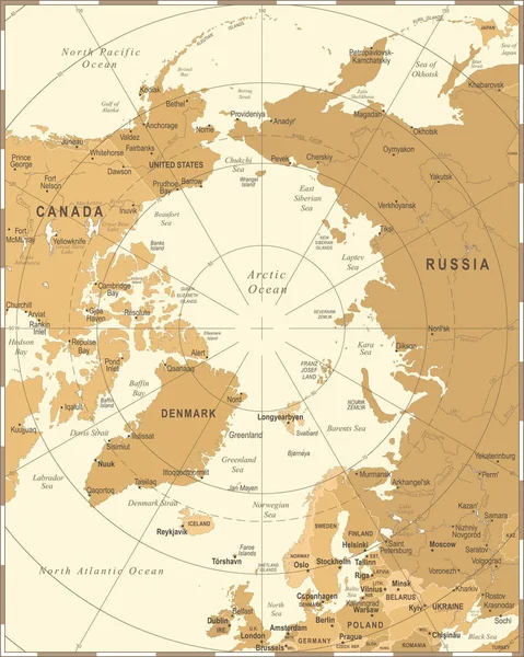
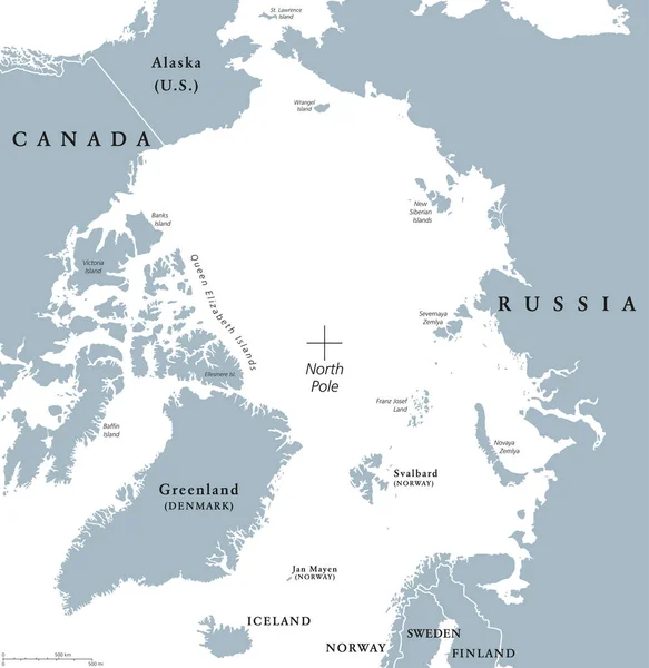
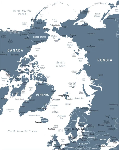
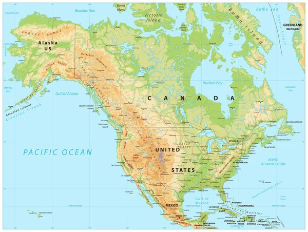
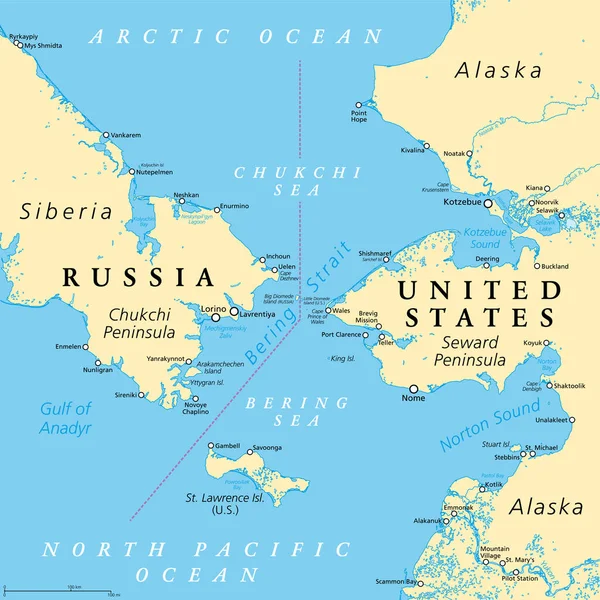
Stock vector Bering Strait, political map. Strait between the North Pacific Ocean and the Arctic Ocean, separating the Chukchi Peninsula of the Russian Far East from the Seward Peninsula of Alaska, United States.
Published: Sep.18, 2022 23:32:01
Author: Furian
Views: 690
Downloads: 5
File type: vector / eps
File size: 7.19 MB
Orginal size: 6000 x 6000 px
Available sizes:
Level: silver