
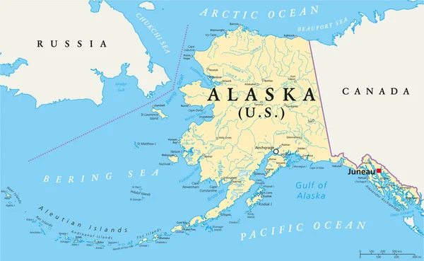
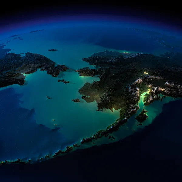
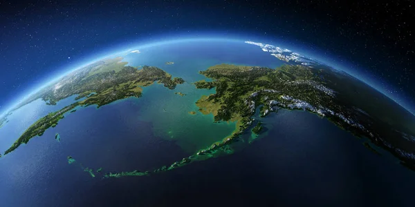
Stock image Bering Strait


Arctic Ocean Sea Routes, Gray Political Map. Arctic Shipping Routes. Northwest Passage And Northern Sea Route. Maritime Paths, Used By Vessels To Navigate Through The Arctic. Illustration. Vector.
Vector, 4MB, 6000 × 6000 eps
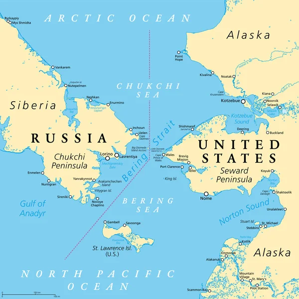
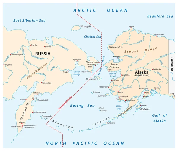
Bering Strait, Political Map. Strait Between The North Pacific Ocean And The Arctic Ocean, Separating The Chukchi Peninsula Of The Russian Far East From The Seward Peninsula Of Alaska, United States.
Vector, 7.19MB, 6000 × 6000 eps
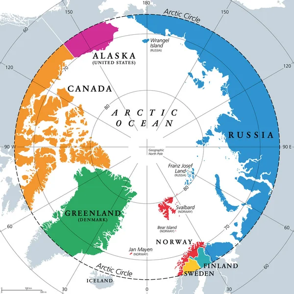
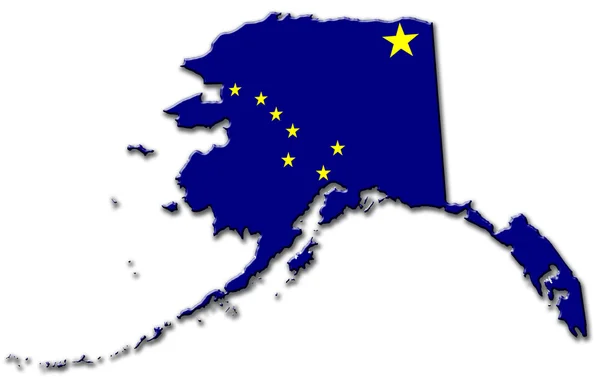
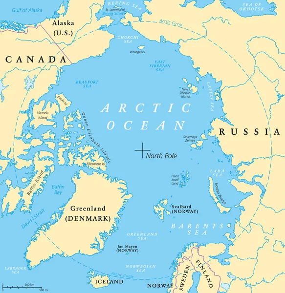
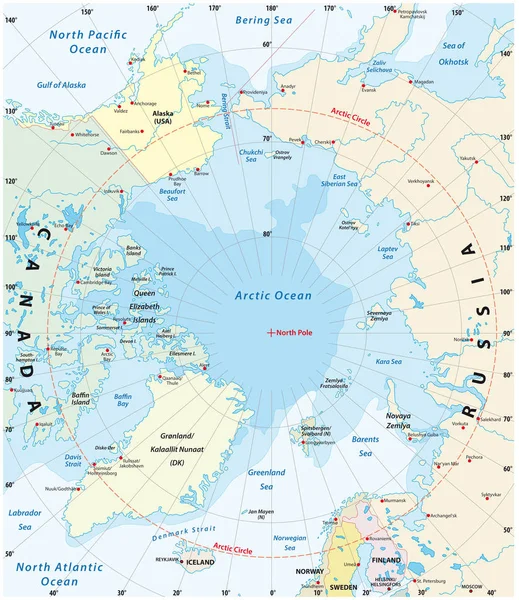
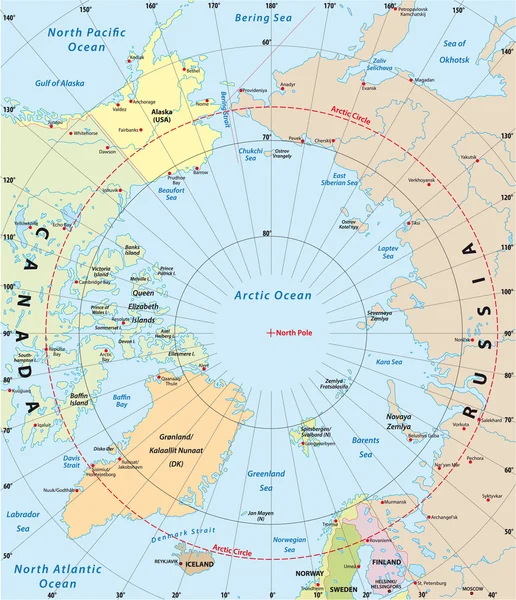
Countries Within The Arctic Circle, Political Map. Countries Within About 66 Degrees North The Equator And North Pole. Alaska (U.S.), Canada, Finland, Greenland (Denmark), Norway, Sweden And Russia.
Vector, 4MB, 6000 × 6000 eps


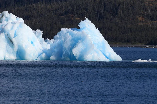
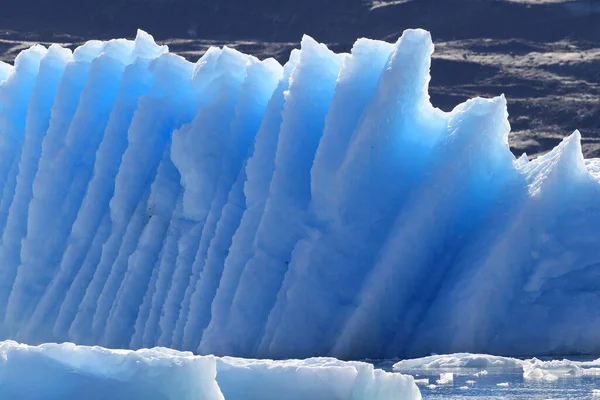
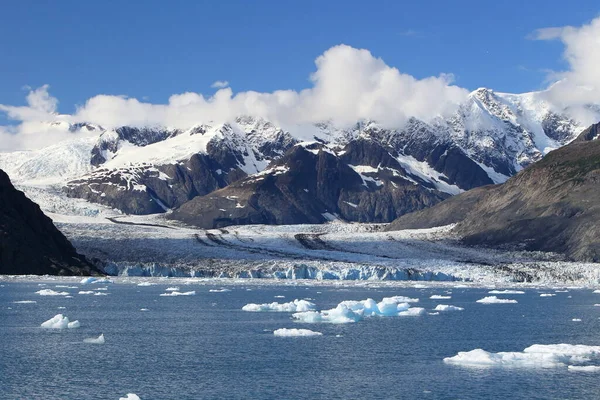
Ice And Icebergs In The Environment Of Columbia Glacier, Columbia Bay, Valdez, Alaska
Image, 11.38MB, 4896 × 3264 jpg
Ice And Icebergs In The Environment Of Columbia Glacier, Columbia Bay, Valdez, Alaska
Image, 10.74MB, 4896 × 3264 jpg
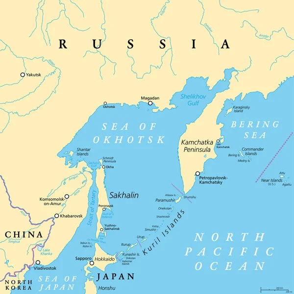
Sea Of Okhotsk, Political Map. A Marginal Sea Of The North Pacific Ocean, Located Between The Kamchatka Peninsula, The Kuril Islands, Hokkaido, Sakhalin, And A Stretch Of The Eastern Siberian Coast.
Vector, 4.15MB, 6000 × 6000 eps


Ice And Icebergs In The Environment Of Columbia Glacier, Columbia Bay, Valdez, Alaska
Image, 13.38MB, 5616 × 3744 jpg

Ice And Icebergs In The Environment Of Columbia Glacier, Columbia Bay, Valdez, Alaska
Image, 14.38MB, 4896 × 3264 jpg
Ice And Icebergs In The Environment Of Columbia Glacier, Columbia Bay, Valdez, Alaska
Image, 14.39MB, 4896 × 3264 jpg

Ice And Icebergs In The Environment Of Columbia Glacier, Columbia Bay, Valdez, Alaska
Image, 11.07MB, 4896 × 3264 jpg
Map Of The Arctic With The Least And Largest Extent Of The Ice Cap 2018
Vector, 2.37MB, 3100 × 3585 eps
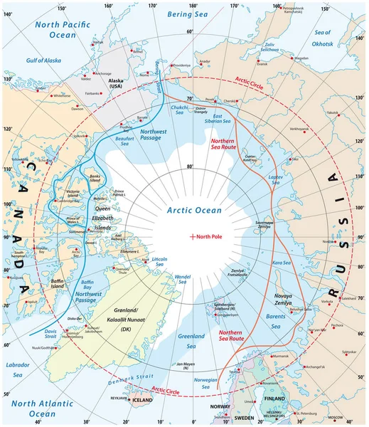
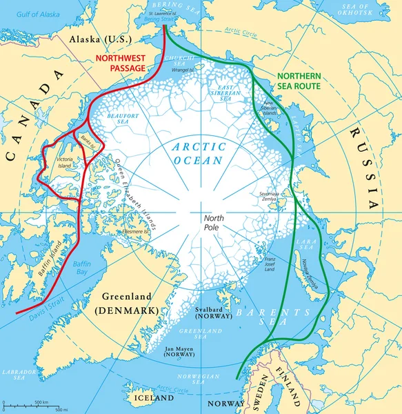
Map Of The Arctic Region, The Northwest Passage And The Northern Sea Route
Vector, 2.34MB, 3100 × 3584 eps
Page 1 >> Next