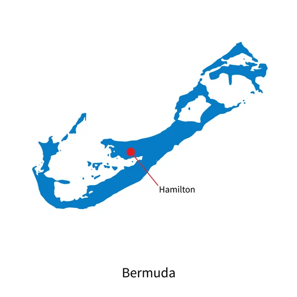
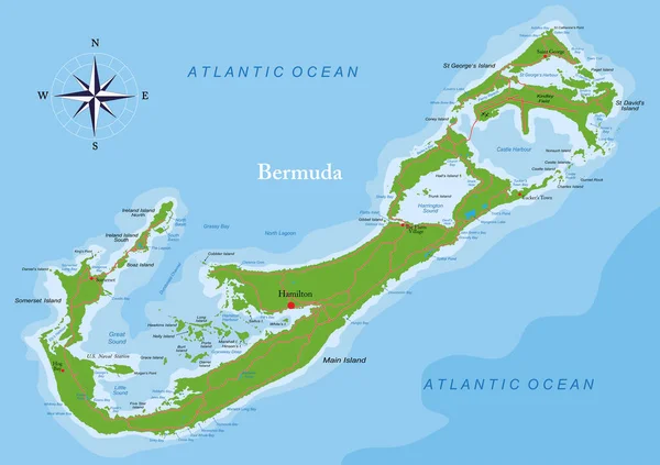
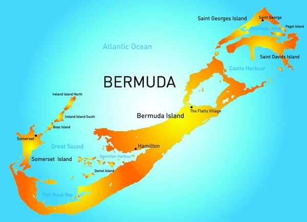
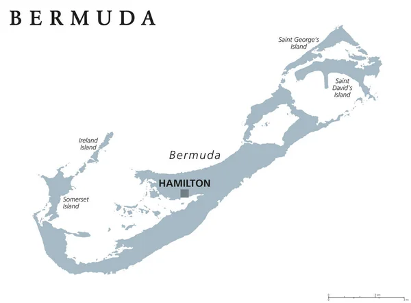
Stock vector Bermuda Political Map

Published: Jun.08, 2015 10:10:29
Author: Furian
Views: 504
Downloads: 20
File type: vector / eps
File size: 1.28 MB
Orginal size: 7823 x 6000 px
Available sizes:
Level: silver
Similar stock vectors
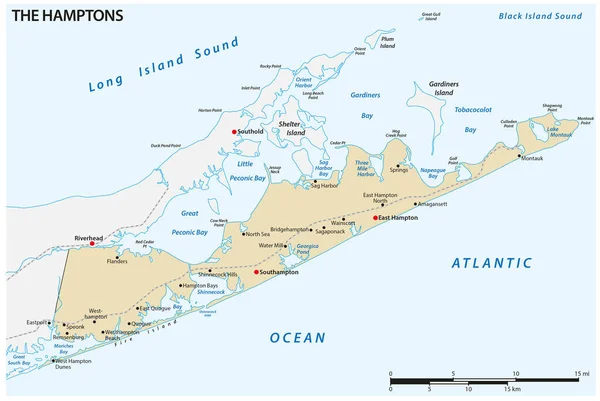
Vector Map Of The Hamptons Region At The East End Of Long Island, New York, United States
4626 × 3100