Home
Images
Vectors
Videos
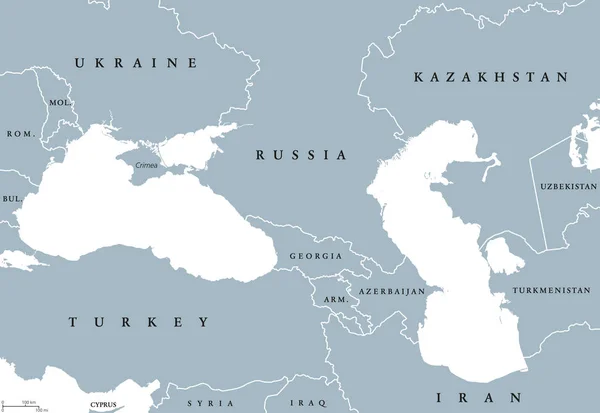
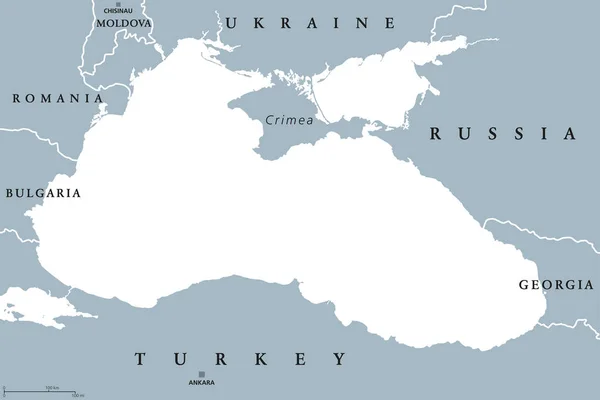
Stock vector Black Sea and Sea of Azov region political map
Published:
Jul.31, 2017 07:47:00
Author:
Furian
Views:
504
Downloads:
10
File type:
vector
/
eps
File size:
2.18 MB
Orginal size:
9777
x
6520
px
Available sizes:
S
(500 x 333)
M
(1000 x 667)
L
(2000 x 1334)
XL
(9777 x 6520)
VECT
(9777 x 6520)
EL0
(9777 x 6520)
Level:
silver
Download Vector
Vector topics:
Vector
Illustration
Labeling
Travel
Water
Sea
Black
Border
Gray
Crimea
Ukraine
Capital
Europe
Country
Map
Cartography
Geography
Land
Turkey
Asia
State
Marmara
Boundary
Bosphorus
Bosporus
Destination
Georgia
Bulgaria
Region
English
Atlas
Azov
Peninsula
Nation
Romania
Black Sea
Body Of Water
Crimean Peninsula
Sea Of Azov
Political Map
Sea Of Marmara
Similar stock vectors
Black Sea And Caspian Sea Region Political Map
9666 × 6662
Caucasus And Central Asia Countries Political Map
9500 × 6849
Eastern Europe And Western Asia, Gray Political Map, With Capitals And Borders. With The Black Sea, Caspian Sea, European Russia, And With A Part Of Central Asia. Illustration On White Background.
6000 × 7735
Ukraine Map With Neighboring States And Names, Gray On A White Background Vector
5807 × 3200
Asia - Map - Illustration.
5400 × 6943
Eurasia Political Map With Countries And Borders
8888 × 6971
Baltic States And Kaliningrad, Political Map. From Finland To Estonia, Latvia And Lithuania, To Poland, And From The Russian Exclave Kaliningrad Oblast, To Belarus, And To The European Part Of Russia.
7432 × 6000
Bulgaria - Blue Map With Neighboring Countries And Names. Vector Illustration
5255 × 6041