photo free
Home Images Vectors Videos

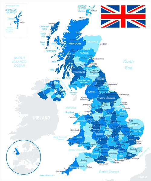
Stock vector Blue-green detailed map of United Kingdom and administrative divisions with country flag and location on the globe.

Stock vector Blue-green detailed map of United Kingdom and administrative divisions with country flag and location on the globe.
Published: Mar.31, 2020 11:16:55
Author: gt29
Views: 7
Downloads: 0
File type: vector / eps
File size: 15.9 MB
Orginal size: 5329 x 6332 px
Available sizes:
S
(421 x 500)
M
(842 x 1000)
L
(1683 x 2000)
XL
(5329 x 6332)
VECT
(5329 x 6332)
EL0
(5329 x 6332)
Level: bronze
Download Vector
Vector topics:

Similar stock vectors

stock vector United Kingdom - map and flag - illustration.

United Kingdom - Map And Flag - Illustration.

5400 × 6470
stock vector United Kingdom map and flag - illustration.

United Kingdom Map And Flag - Illustration.

5400 × 8024
stock vector United Kingdom map - vector illustration

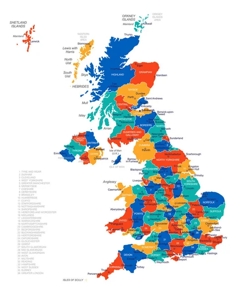
United Kingdom Map - Vector Illustration

4641 × 5675
stock vector United Kingdom map, administrative division, separate individual regions with names, color map isolated on white background vector

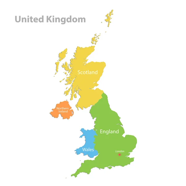
United Kingdom Map, Administrative Division, Separate Individual Regions With Names, Color Map Isolated On White Background Vector

4100 × 4100
stock vector vector map of British Isles administrative divisions colored by countries and regions. Districts and counties maps and flags of United Kingdom,Northern Ireland, Wales, Scotland and Republic of Ireland

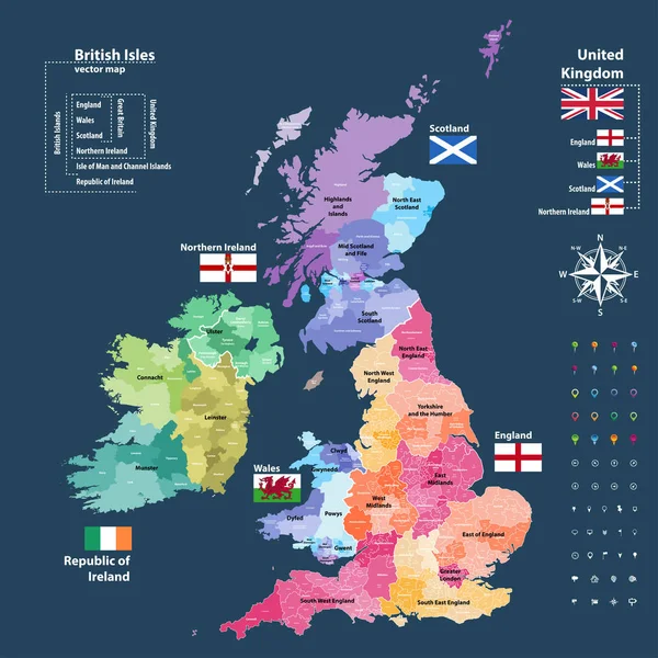
Vector Map Of British Isles Administrative Divisions Colored By Countries And Regions. Districts And Counties Maps And Flags Of United Kingdom,Northern Ireland, Wales, Scotland And Republic Of Ireland

7292 × 7292
stock vector Detailed map of United Kingdom with flag, border of regions and country. Purple, yellow, green.

Detailed Map Of United Kingdom With Flag, Border Of Regions And Country. Purple, Yellow, Green.

5329 × 6793
stock vector The detailed map of the United Kingdom with regions or states and cities, capitals. Actual current relevant UK, Great Britain administrative devision.

The Detailed Map Of The United Kingdom With Regions Or States And Cities, Capitals. Actual Current Relevant UK, Great Britain Administrative Devision.

5000 × 6500
stock vector United Kingdom map, flag and navigation labels - illustration.

United Kingdom Map, Flag And Navigation Labels - Illustration.

5400 × 6965