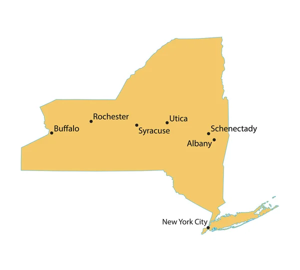
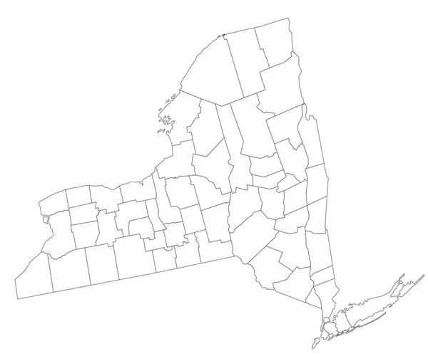
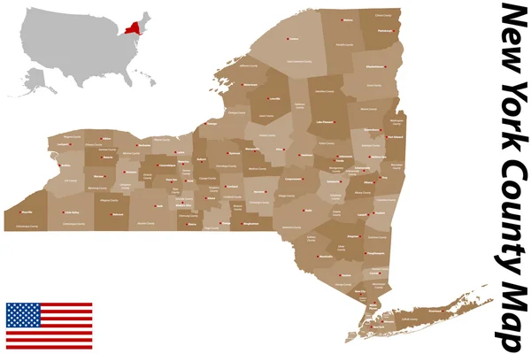
Stock vector Borscht Belt, or Yiddish Alps, political map. A colloquial term for the mostly defunct summer resorts of the Catskill Mountains and parts of Sullivan and Ulster counties in the U.S. state of New York.

Published: Jun.26, 2024 15:47:42
Author: Furian
Views: 0
Downloads: 0
File type: vector / eps
File size: 2.6 MB
Orginal size: 7671 x 6000 px
Available sizes:
Level: silver