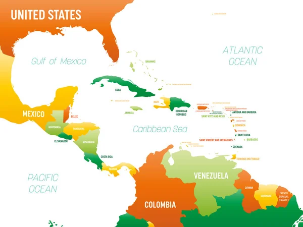
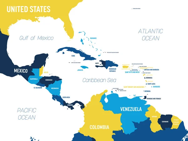
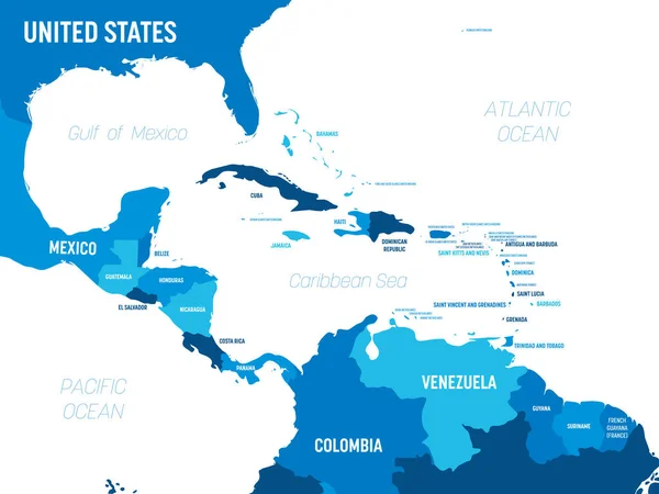
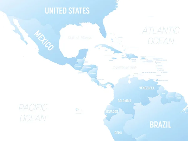
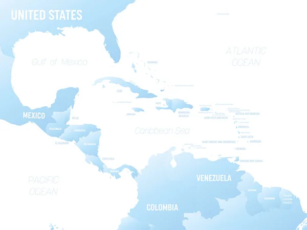
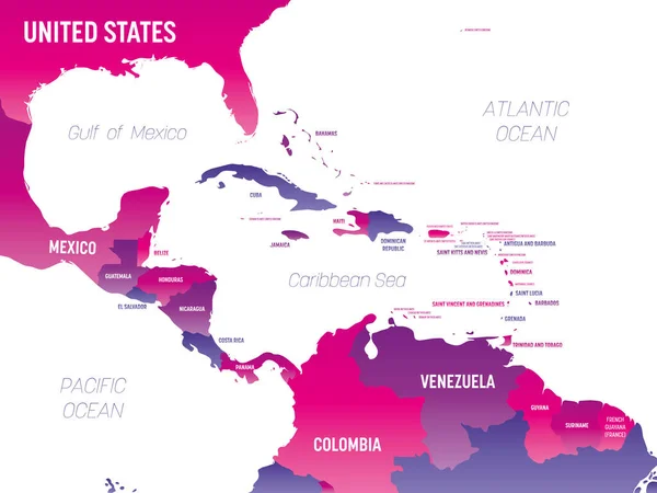
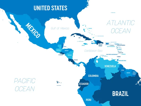
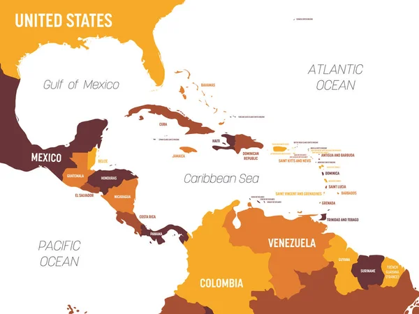
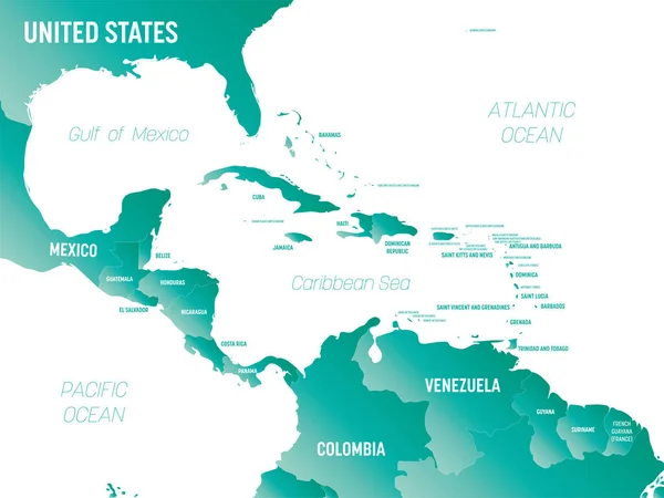
Stock vector Central America - high detailed political map Central American and Caribbean region with country, ocean and sea names labeling.
Published: Jun.04, 2023 21:16:32
Author: pyty
Views: 6
Downloads: 0
File type: vector / eps
File size: 1.61 MB
Orginal size: 8000 x 6000 px
Available sizes:
Level: silver