Home
Images
Vectors
Videos
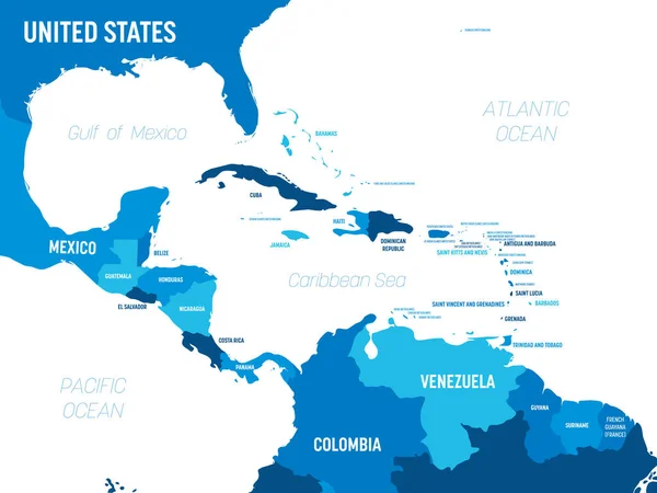
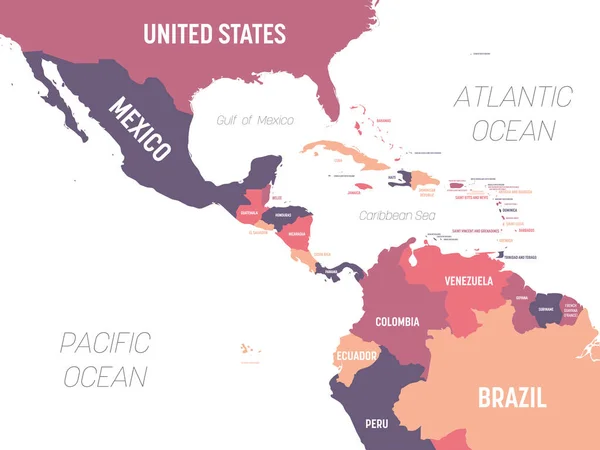
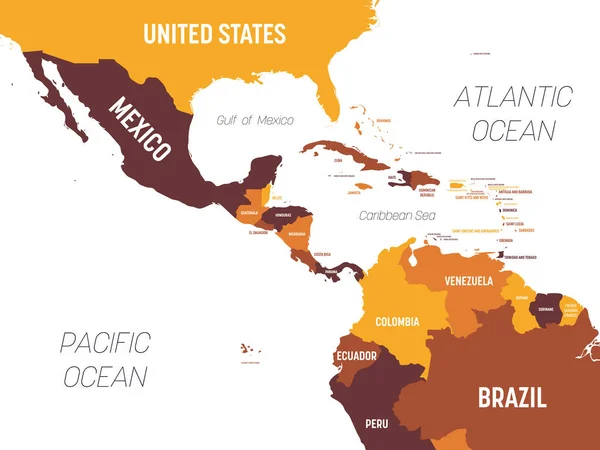
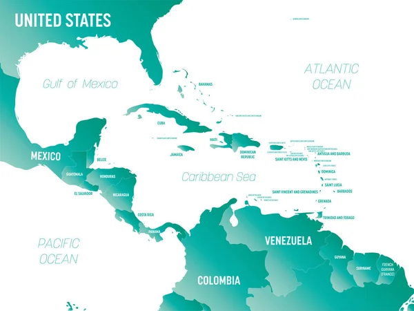
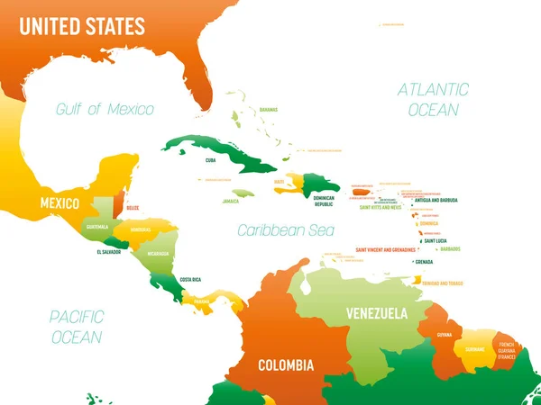
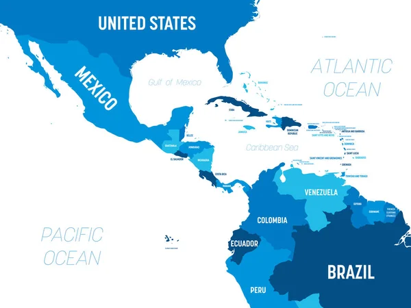
Stock vector Central America map - green hue colored on dark background. High detailed political map Central American and Caribbean region with country, capital, ocean and sea names labeling
Published:
May.08, 2020 14:13:29
Author:
pyty
Views:
16
Downloads:
0
File type:
vector
/
eps
File size:
1.48 MB
Orginal size:
6000
x
4500
px
Available sizes:
S
(500 x 375)
M
(1000 x 750)
L
(2000 x 1500)
XL
(6000 x 4500)
VECT
(6000 x 4500)
EL0
(6000 x 4500)
Level:
silver
Download Vector
Vector topics:
Green
Vector
Colorful
Design
Isolated
Business
Labeling
Label
Travel
Detail
Water
Sea
Dark
Border
City
Information
Education
World
American
Template
Ocean
Detailed
Capital
Shade
Name
Country
Map
Cartography
Geography
Continent
State
America
Countries
International
Political
Hue
Caribbean
Central
Mexico
Atlas
Oceans
Americas
Jamaica
Cuba
Geographical
Labeled
Infographic
Capital City
Central America
Political Map
Similar stock vectors
Central America Map - Green Hue Colored On Dark Background. High Detailed Political Map Central American And Caribbean Region With Country, Capital, Ocean And Sea Names Labeling
6000 × 4500
Central America Map - Brown Orange Hue Colored On Dark Background. High Detailed Political Map Central American And Caribbean Region With Country, Ocean And Sea Names Labeling
6000 × 4500
Central America Map - 4 Bright Color Scheme. High Detailed Political Map Central American And Caribbean Region With Country, Ocean And Sea Names Labeling
6000 × 4500
Central America Map - 4 Bright Color Scheme. High Detailed Political Map Central American And Caribbean Region With Country, Ocean And Sea Names Labeling
6000 × 4500
Central America Map. High Detailed Political Map Central American And Caribbean Region With Country, Ocean And Sea Names Labeling
6000 × 4500
Central America Map - Brown Orange Hue Colored On Dark Background. High Detailed Political Map Central American And Caribbean Region With Country, Ocean And Sea Names Labeling
6000 × 4500
Central America - High Detailed Political Map Central American And Caribbean Region With Country, Ocean And Sea Names Labeling.
8000 × 6000
Central America - High Detailed Political Map Central American And Caribbean Region With Country, Ocean And Sea Names Labeling.
8000 × 6000