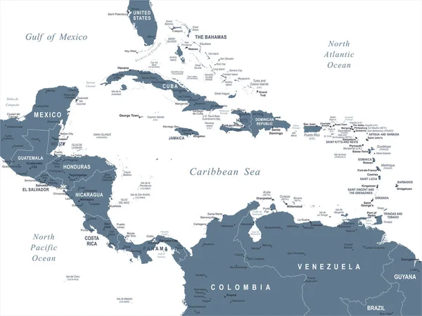
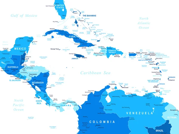
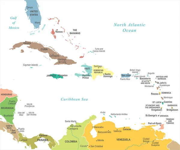
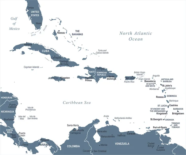
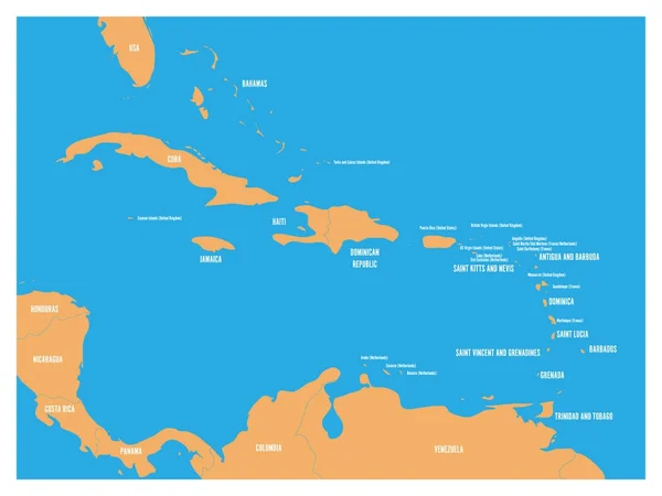
Stock vector Central America - map and navigation labels - illustration.

Published: Aug.31, 2015 04:58:53
Author: dikobrazik
Views: 263
Downloads: 15
File type: vector / eps
File size: 4.42 MB
Orginal size: 7400 x 5928 px
Available sizes:
Level: silver