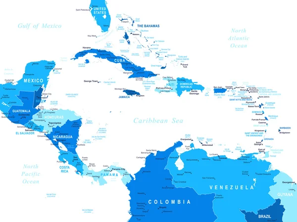
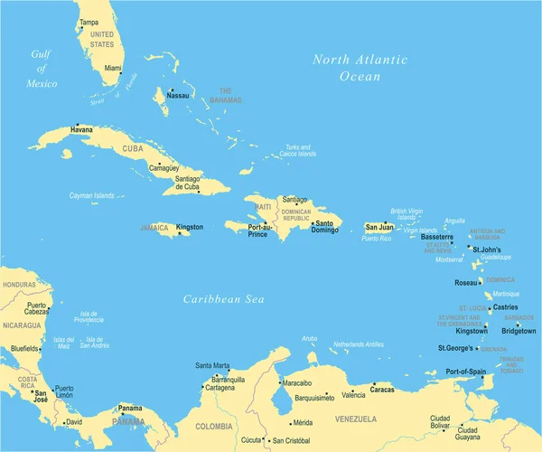
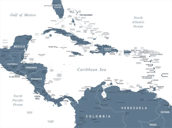
Stock vector The Caribbean Map - Vector Illustration

Published: Jan.24, 2018 08:33:55
Author: dikobrazik
Views: 39
Downloads: 2
File type: vector / eps
File size: 1.86 MB
Orginal size: 6598 x 5500 px
Available sizes:
Level: silver