Home
Images
Vectors
Videos
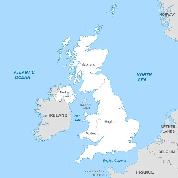
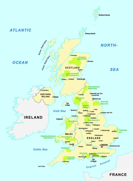
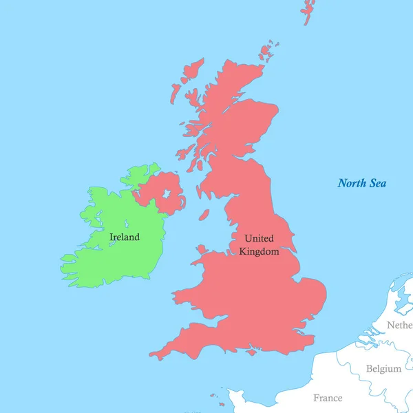
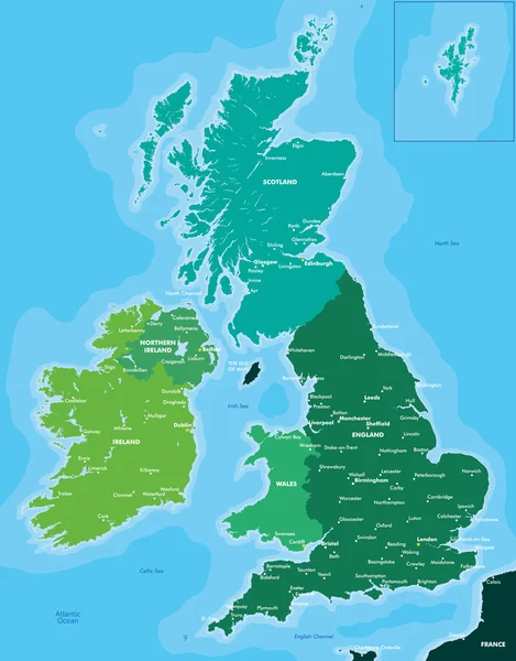
Stock vector Color map of Great Britain and Ireland
Published:
Dec.16, 2014 14:56:32
Author:
Max_776
Views:
434
Downloads:
28
File type:
vector
/
eps
File size:
3.81 MB
Orginal size:
4317
x
5512
px
Available sizes:
S
(392 x 500)
M
(783 x 1000)
L
(1566 x 2000)
XL
(4317 x 5512)
VECT
(4317 x 5512)
EL0
(4317 x 5512)
Level:
bronze
Download Vector
Vector topics:
Color
Vector
Background
Illustration
High
Travel
Detail
Full
Silhouette
Banner
Real
Physical
Planet
Digitally
Tourism
Detailed
North
Northern
Illustrated
Quality
Country
Map
Cartography
Geography
Ireland
Uk
Details
Location
Great
Island
Political
Administrative
Union
United
Britain
London
Region
England
Atlas
Wales
Nation
Scotland
Liverpool
Dublin
Manchester
Edinburgh
Belfast
Great Britain
Clip Art
Isle Of Man
Similar stock vectors
Political Map Of United Kingdom With Borders With Borders Of Regions And Countries
4000 × 4000
National Parks Vector Map Of The United Kingdom
3348 × 4540
Map Of United Kingdom
4201 × 7001
Color Political Map Of British Isles With Borders Of The Countries.
4000 × 4000
Vector Illustrated Blank Map Of UK With Administrative Divisions, And Neighbouring Countries. Editable And Clearly Labeled Layers.
4000 × 4800
Hand Drawn Map Of Wales And The British Isles. Colorful Hand Drawn Vector Illustration. Green
6000 × 8302