Home
Images
Vectors
Videos
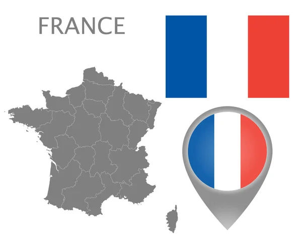
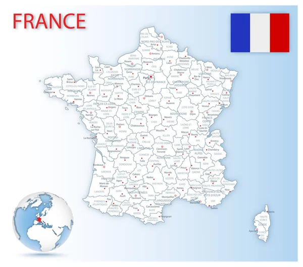
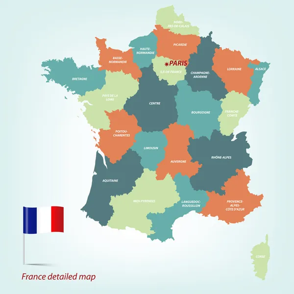
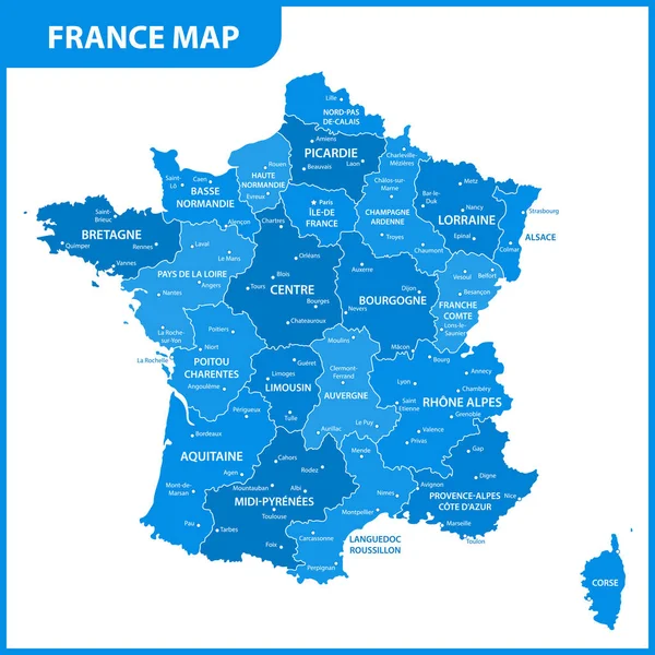
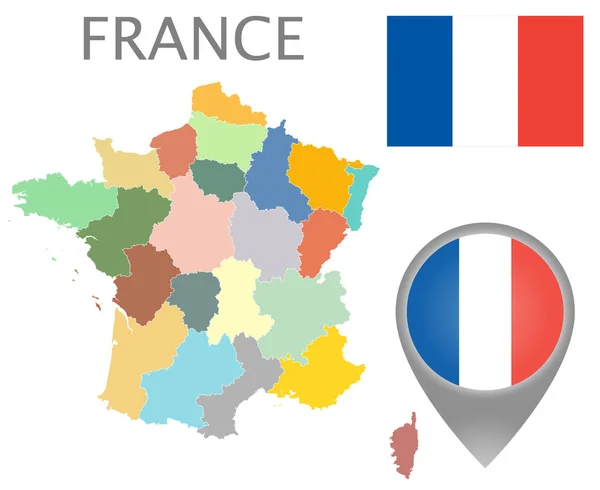
Stock vector Colorful flag, map pointer and map of France with the administrative divisions. High detail. Vector illustration
Published:
Nov.01, 2018 10:24:06
Author:
Archivector
Views:
3
Downloads:
0
File type:
vector
/
eps
File size:
6.25 MB
Orginal size:
5500
x
4500
px
Available sizes:
S
(500 x 409)
M
(1000 x 818)
L
(2000 x 1636)
XL
(5500 x 4500)
VECT
(5500 x 4500)
EL0
(5500 x 4500)
Level:
bronze
Download Vector
Vector topics:
White
Vector
Background
Colorful
Graphic
Illustration
Design
Isolated
Shape
Detail
Abstract
French
Cut
Silhouette
Flag
Gray
City
Digital
Contour
France
Surface
Detailed
Europe
Pointer
Outline
Country
District
Map
Cartography
Geography
Area
National
Land
Fill
State
Chart
Location
Borders
Boundary
Paris
Region
Division
Diagram
Atlas
Nation
Mercator
Administrative Divisions
Similar stock vectors
Colorful Flag, Map Pointer And Gray Map Of France With The Administrative Divisions. High Detail. Vector Illustration
5500 × 4500
Detailed Map Of France Administrative Divisions With Country Flag And Location On The Globe.
6034 × 5314
France Political Map
7000 × 6079
France_Map
4724 × 4724
France_Map
4724 × 4724
Colorful Flag, Map Pointer And Map Of France In The Colors Of The French Flag. High Detail. Vector Illustration
5500 × 4500
The Detailed Map Of The France With Regions Or States And Cities, Capital
5000 × 5000
France Culture Card With Map
5315 × 5315