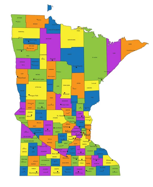
Stock vector Colorful Minnesota political map with clearly labeled, separated layers. Vector illustration.
Published: Apr.26, 2023 07:37:59
Author: delpieroo
Views: 2
Downloads: 0
File type: vector / eps
File size: 6.72 MB
Orginal size: 4097 x 5005 px
Available sizes:
Level: bronze
Similar stock vectors
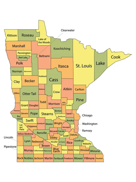
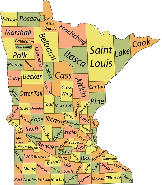
Pastel Vector Map Of The Federal State Of Minnesota, USA With Black Borders And Name Tags Of Its Counties
4664 × 5306


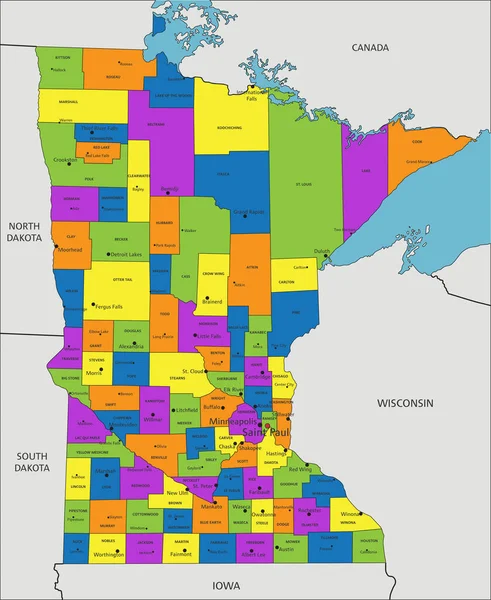
Colorful Minnesota Political Map With Clearly Labeled, Separated Layers. Vector Illustration.
4099 × 5009