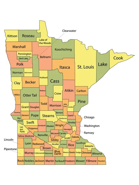
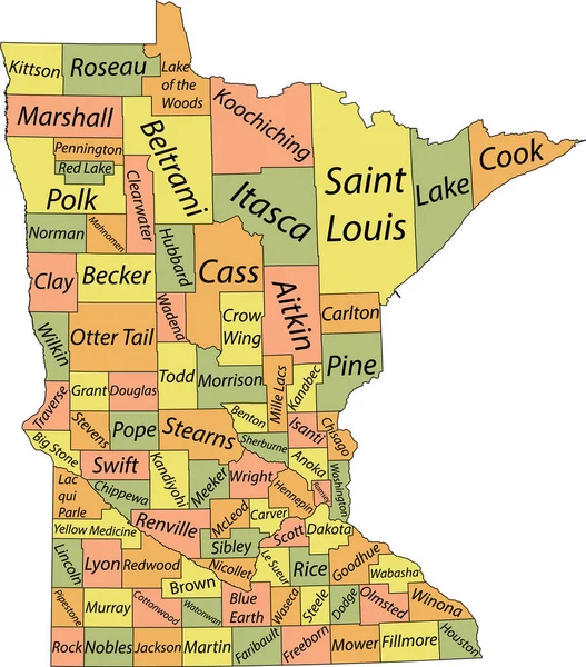
Stock vector Pastel vector map of the Federal State of Minnesota, USA with black borders and name tags of its counties
Published: Sep.10, 2021 08:38:54
Author: momcilo.jovanov
Views: 0
Downloads: 0
File type: vector / eps
File size: 1.4 MB
Orginal size: 4664 x 5306 px
Available sizes:
Level: bronze