Home
Images
Vectors
Videos
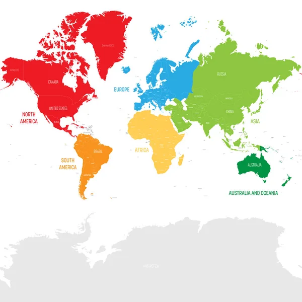
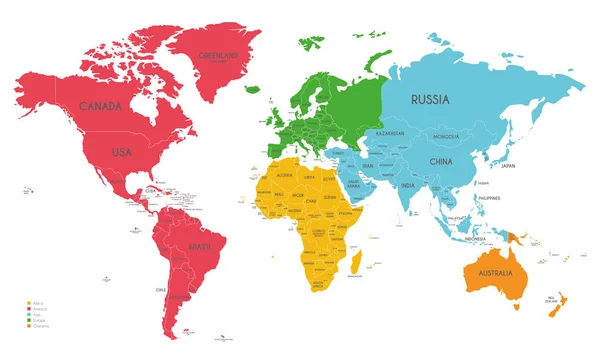
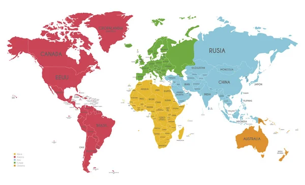
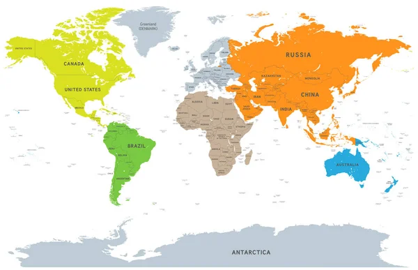
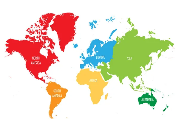
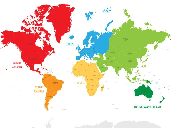
Stock vector Colorful political map World continents.
Published:
Mar.03, 2022 08:38:24
Author:
pyty
Views:
29
Downloads:
0
File type:
vector
/
eps
File size:
17.01 MB
Orginal size:
8001
x
6000
px
Available sizes:
S
(500 x 375)
M
(1000 x 750)
L
(2000 x 1500)
XL
(8001 x 6000)
VECT
(8001 x 6000)
EL0
(8001 x 6000)
Level:
silver
Download Vector
Vector topics:
Green
Color
Red
Yellow
Blue
Vector
Colorful
Colored
Design
Label
Orange
Colour
Sea
Border
Modern
Stylish
Global
Education
Earth
World
Ocean
North
South
Name
Country
Map
Cartography
Geography
Africa
Continent
Land
Worldwide
Asia
State
Sovereign
Poster
America
Australia
Boundary
Political
Projection
Six
Europa
Oceania
Antarctica
Nation
Mercator
World Map
Map Of World
Similar stock vectors
Colorful Political Map World Continents.
8000 × 8000
Colorful Political Map World Continents.
8000 × 8000
Political World Map Vector Illustration With Different Colors For Each Continent And Isolated On White Background. Editable And Clearly Labeled Layers.
5600 × 3400
Political World Map Vector Illustration With Different Colors For Each Continent And Isolated On White Background With Country Names In Spanish. Editable And Clearly Labeled Layers.
5600 × 3400
World Map Vector Illustration Infographics With Highlighted 6 Largest Countries By Area
6000 × 4000
Vector Detailed Continent World Map
7571 × 4892
Colorful Political Map World Continents.
8001 × 6000
High Detailed Political Map Of World
6000 × 4500