Home
Images
Vectors
Videos
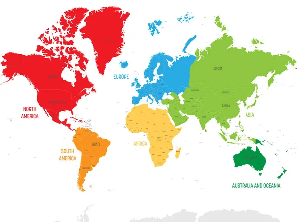
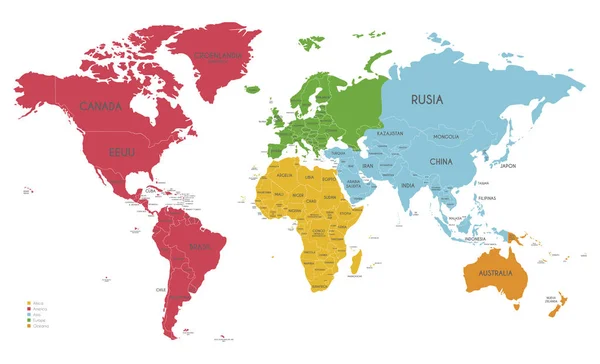
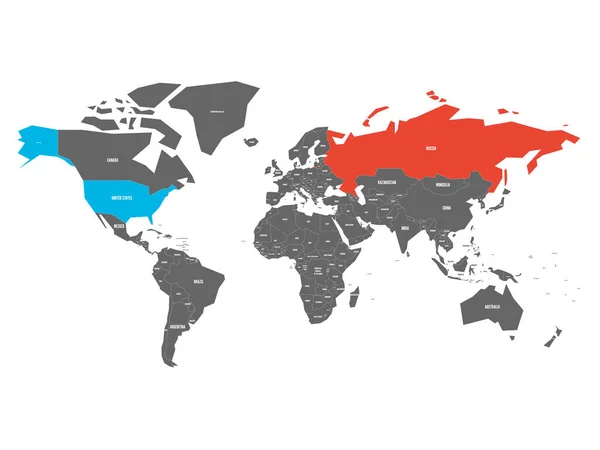
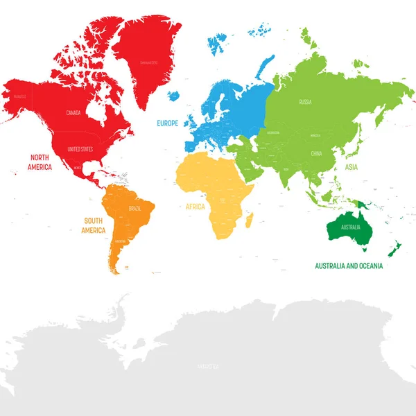
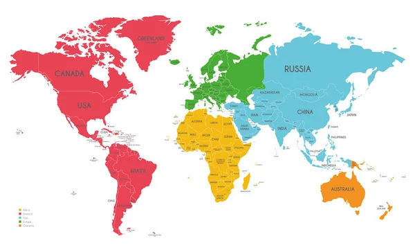
Stock vector World map vector illustration infographics with highlighted 6 largest countries by area
Published:
Jun.26, 2018 06:25:01
Author:
pyty
Views:
38
Downloads:
0
File type:
vector
/
eps
File size:
0.57 MB
Orginal size:
6000
x
4000
px
Available sizes:
S
(500 x 333)
M
(1000 x 667)
L
(2000 x 1333)
XL
(6000 x 4000)
VECT
(6000 x 4000)
EL0
(6000 x 4000)
Level:
silver
Download Vector
Vector topics:
Color
Vector
Colorful
Graphic
Element
Illustration
Design
Business
Label
Travel
Abstract
Silhouette
Modern
Symbol
Concept
Global
Information
Presentation
Earth
World
Usa
Template
Europe
Globe
Collection
China
Russia
Country
Map
Cartography
Geography
Area
Africa
Asia
State
Graph
Chart
America
Countries
International
Australia
Six
Canada
Largest
Marker
Brazil
Visualization
Infographics
Infographic
Similar stock vectors
World Map Divided Into Six Continents In Different Color. Colored Map Of The World With Countries Borders. Vector Stock
5000 × 3539
Colorful Political Map World Continents.
8000 × 8000
Political Blank World Map Vector Illustration With Different Colors For Each Continent And Isolated On White Background. Editable And Clearly Labeled Layers.
5600 × 3400
Colorful Political Map World Continents.
8001 × 6000
Political World Map Vector Illustration With Different Colors For Each Continent And Isolated On White Background With Country Names In Spanish. Editable And Clearly Labeled Layers.
5600 × 3400
United States And Russia Highlighted On Political Map Of World. Vector Illustration.
6000 × 4500
Colorful Political Map World Continents.
8000 × 8000
Political World Map Vector Illustration With Different Colors For Each Continent And Isolated On White Background. Editable And Clearly Labeled Layers.
5600 × 3400