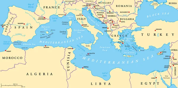
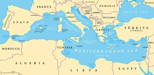
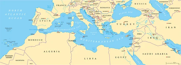
Stock vector country map of the eastern mediterranean sea

Published: May.22, 2019 09:56:10
Author: Lesniewski
Views: 605
Downloads: 9
File type: vector / eps
File size: 1.96 MB
Orginal size: 4177 x 3100 px
Available sizes:
Level: bronze