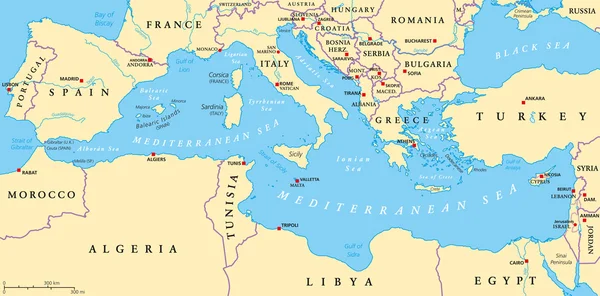
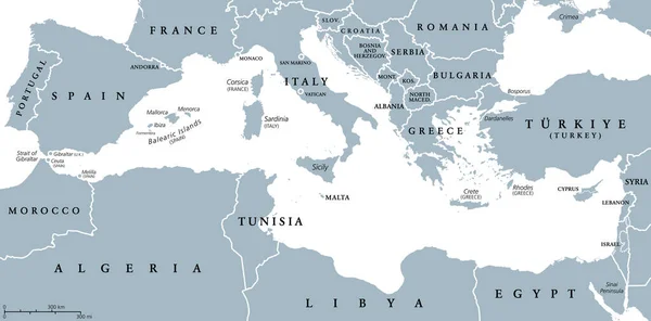
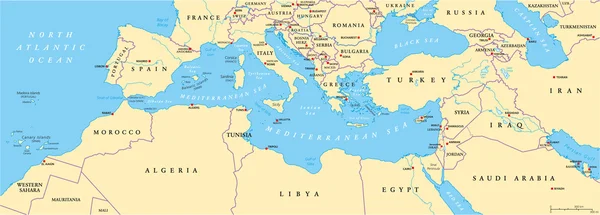
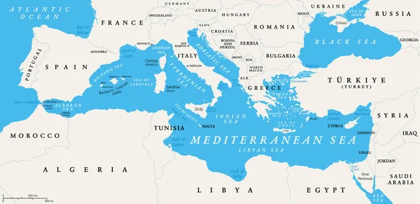
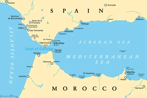
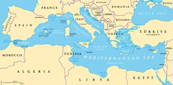
Stock vector The Mediterranean Sea, political map with subdivisions, straits, islands and countries. Connected to the Atlantic Ocean, surrounded by the Mediterranean Basin, almost completely enclosed by land.
Published: Jul.01, 2022 11:26:17
Author: Furian
Views: 1286
Downloads: 2
File type: vector / eps
File size: 3.7 MB
Orginal size: 9000 x 4442 px
Available sizes:
Level: silver