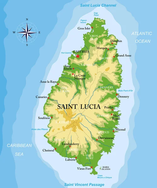
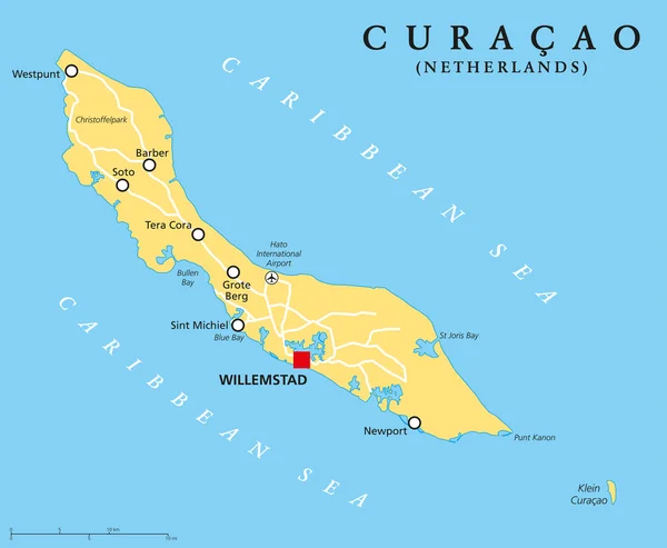
Stock vector Curacao Political Map
Published: Apr.09, 2015 09:32:08
Author: Furian
Views: 808
Downloads: 17
File type: vector / eps
File size: 0.69 MB
Orginal size: 7298 x 6000 px
Available sizes:
Level: silver