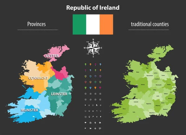
Stock vector Detail modern infographic vector illustration with country of Ireland

Published: Nov.08, 2022 08:57:49
Author: Order.singaraja@gmail.com
Views: 2
Downloads: 0
File type: vector / eps
File size: 0.76 MB
Orginal size: 6251 x 4167 px
Available sizes:
Level: beginner