photo free
Home Images Vectors Videos

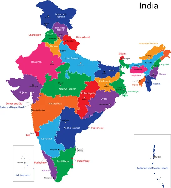
Stock vector Detailed map of India, Asia with all states and country boundary
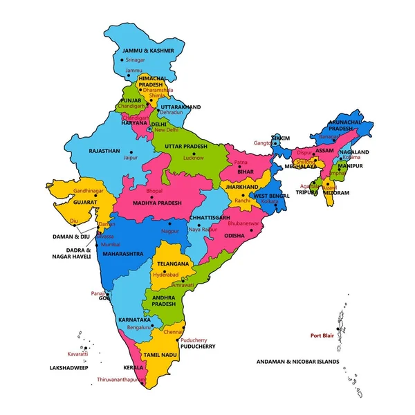
Stock vector Detailed map of India, Asia with all states and country boundary
Published: Dec.25, 2017 11:38:05
Author: vectomart
Views: 954
Downloads: 2
File type: vector / eps
File size: 2.11 MB
Orginal size: 5000 x 5000 px
Available sizes:
S
(500 x 500)
M
(1000 x 1000)
L
(2000 x 2000)
XL
(5000 x 5000)
VECT
(5000 x 5000)
EL0
(5000 x 5000)
Level: gold
Download Vector
Vector topics:

Similar stock vectors

stock vector India map

India Map

4733 × 5202
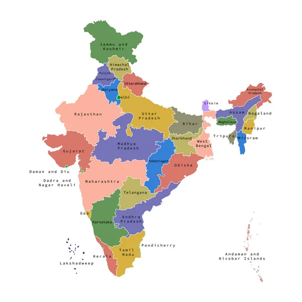
stock vector High quality colorful labeled map of India with borders of the states

High Quality Colorful Labeled Map Of India With Borders Of The States

4000 × 4000
stock vector Vector illustration of administrative division map of India. Vector map.

Vector Illustration Of Administrative Division Map Of India. Vector Map.

4500 × 4500
stock vector Colorful India political map with clearly labeled, separated layers. Vector illustration.

Colorful India Political Map With Clearly Labeled, Separated Layers. Vector Illustration.

4182 × 4620
stock vector India map - highly detailed vector illustration

India Map - Highly Detailed Vector Illustration

4990 × 5556
stock image Daman and Diu red highlighted in map of India

Daman And Diu Red Highlighted In Map Of India

5800 × 6334
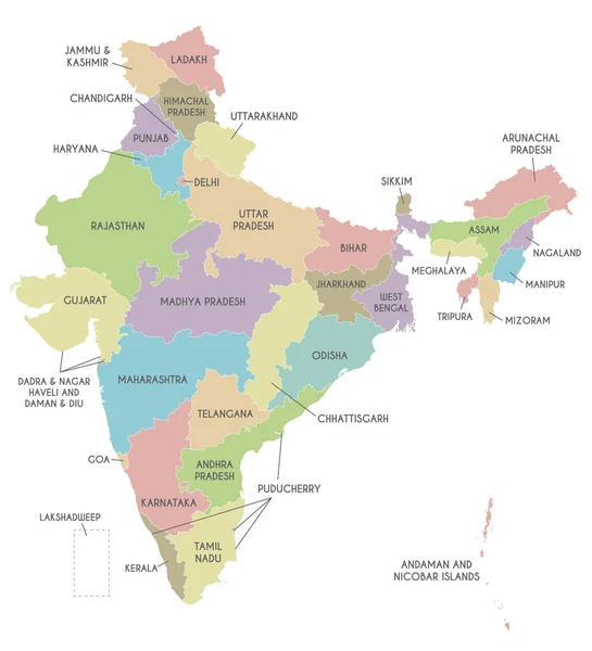
stock vector Vector map of India with states and territories and administrative divisions. Editable and clearly labeled layers.

Vector Map Of India With States And Territories And Administrative Divisions. Editable And Clearly Labeled Layers.

4250 × 4675
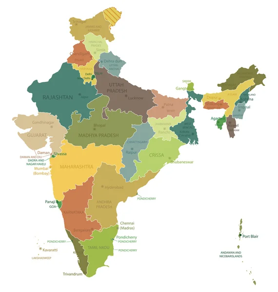
stock vector India - highly detailed map.

India - Highly Detailed Map.

4751 × 5001