Home
Images
Vectors
Videos
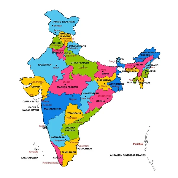
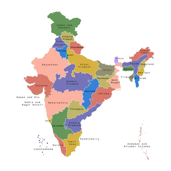
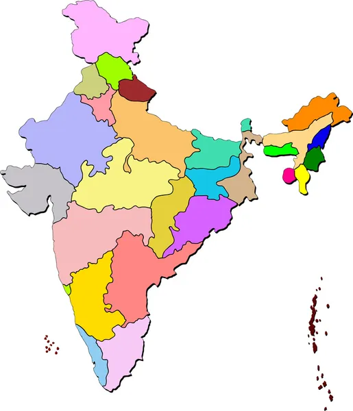
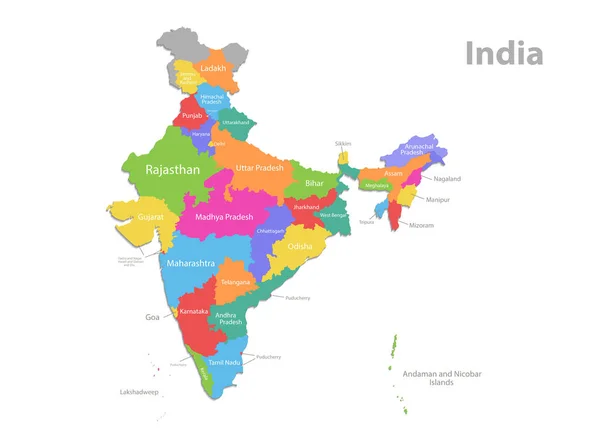
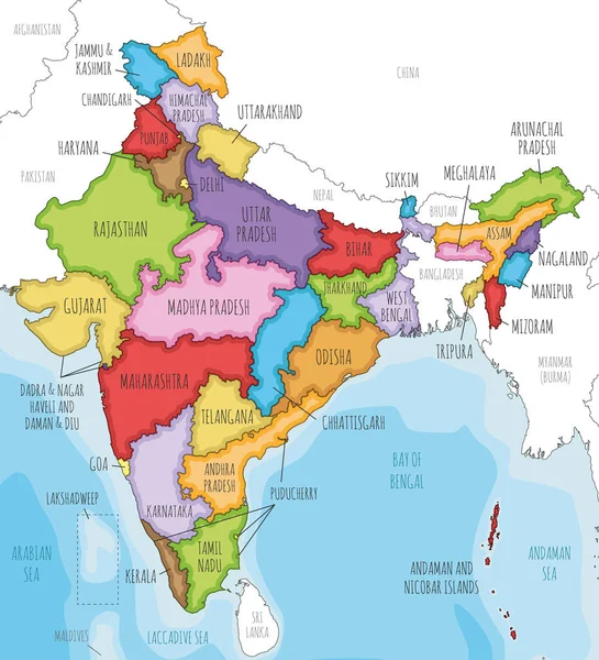
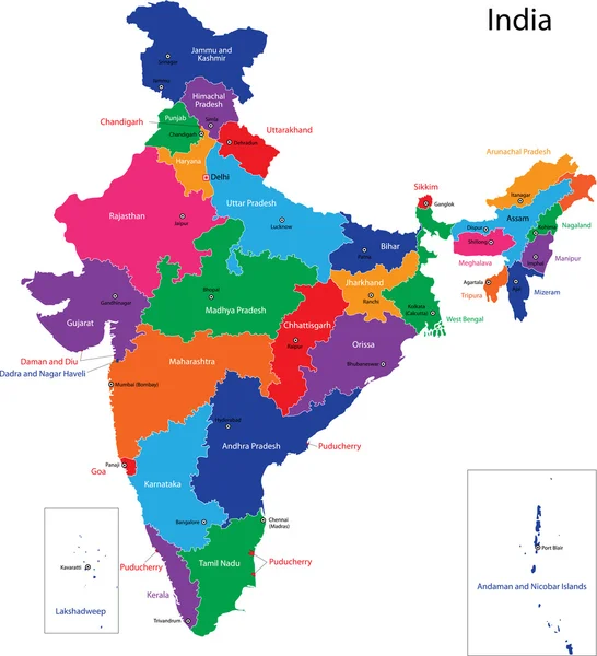
Stock vector High quality colorful labeled map of India with borders of the states
Published:
Jan.16, 2021 08:50:05
Author:
grebeshkovmaxim@gmail.com
Views:
34
Downloads:
0
File type:
vector
/
eps
File size:
3.33 MB
Orginal size:
4000
x
4000
px
Available sizes:
S
(500 x 500)
M
(1000 x 1000)
L
(2000 x 2000)
XL
(4000 x 4000)
VECT
(4000 x 4000)
EL0
(4000 x 4000)
Level:
silver
Download Vector
Vector topics:
Color
Blue
Vector
Background
Colorful
Graphic
Colored
Illustration
Label
Travel
Border
City
Contour
Simple
Detailed
Capital
Name
Country
Map
Cartography
Geography
National
Continent
Land
State
Topography
Boundary
Political
Administrative
India
Geographic
Maharashtra
Region
Division
Indian
Territory
Atlas
Province
Nation
County
Bihar
Rajasthan
Labeled
Karnataka
Tamil Nadu
Uttar Pradesh
West Bengal
Madhya Pradesh
Similar stock vectors
Detailed Map Of India, Asia With All States And Country Boundary
5000 × 5000
Vector Illustration Of Administrative Division Map Of India. Vector Map.
4500 × 4500
India Map
5175 × 6022
India Map, Administrative Division, Separate Individual Regions With Names, New Map Of Division Year 2020, Color Map Isolated On White Background Vector
5362 × 4000
Colorful India Political Map With Clearly Labeled, Separated Layers. Vector Illustration.
4182 × 4620
India Map Colorful Country Icon
4521 × 4521
Vector Illustrated Map Of India With States And Territories And Administrative Divisions, And Neighbouring Countries. Editable And Clearly Labeled Layers.
4250 × 4675
India Map
4733 × 5202