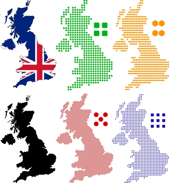
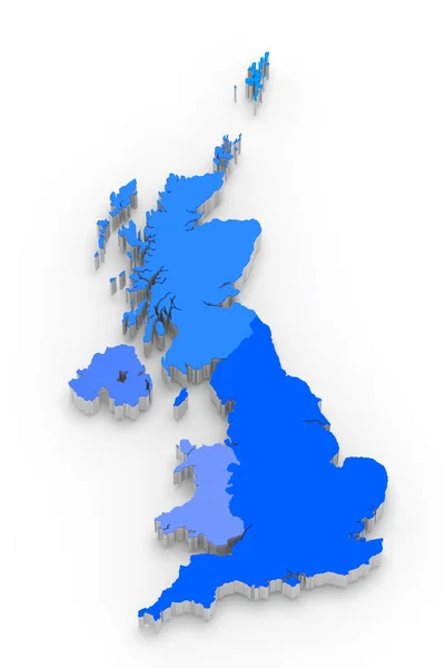
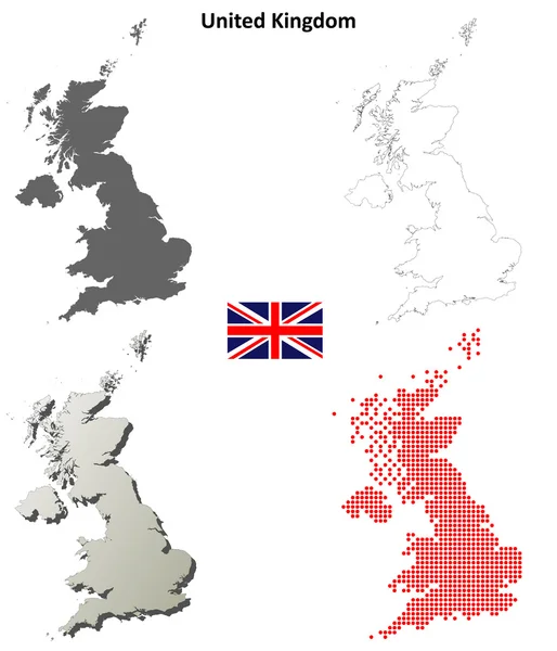
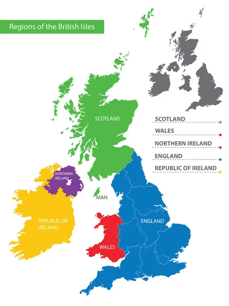
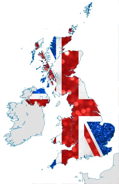
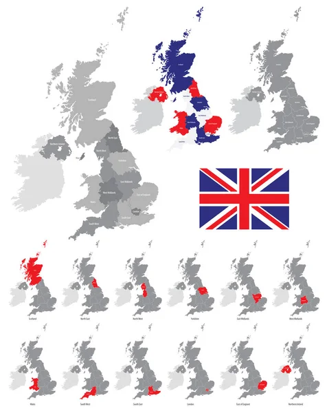
Stock vector Detailed vector map of the regions of the British Isles, in the color of the British flag
Published: Apr.29, 2020 12:15:49
Author: martinova4
Views: 42
Downloads: 2
File type: vector / eps
File size: 9.14 MB
Orginal size: 5192 x 6496 px
Available sizes:
Level: beginner