
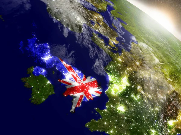
Stock image United Kingdom Topography


Cornwall (United Kingdom, England, Non-metropolitan County, Shire County) Map Vector Illustration, Scribble Sketch Cornwall Map
Vector, 0.65MB, 7087 × 4726 eps
Buckinghamshire (United Kingdom, England, Non-metropolitan County, Shire County) Map Vector Illustration, Scribble Sketch Bucks Map
Vector, 0.69MB, 7087 × 4726 eps
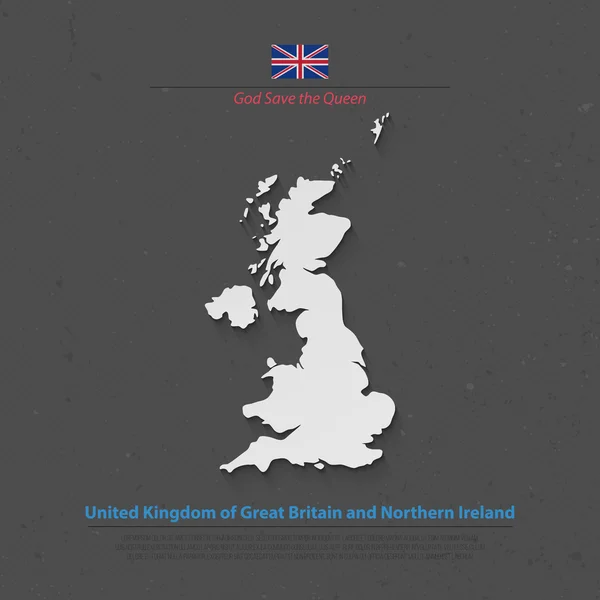
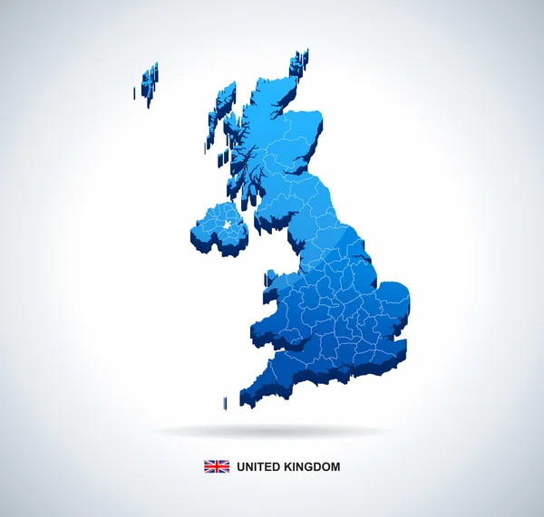
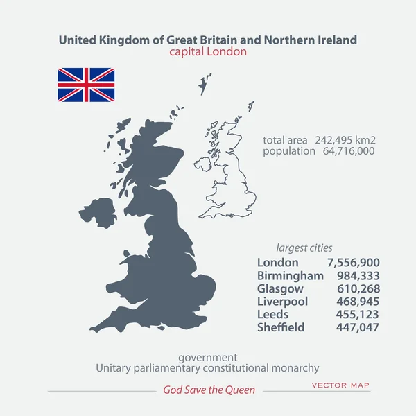
United Kingdom Of Great Britain And Northern Ireland Map And Official Flag Icons. Vector British Political Map 3d Illustration. EU Geographic Banner Template. Business Concept Maps
Vector, 3.46MB, 4000 × 4000 eps
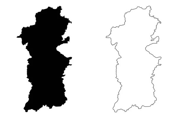
Denbighshire (United Kingdom, Wales, Cymru, Principal Areas Of Wales) Map Vector Illustration, Scribble Sketch Denbighshire Map
Vector, 0.61MB, 7087 × 4726 eps


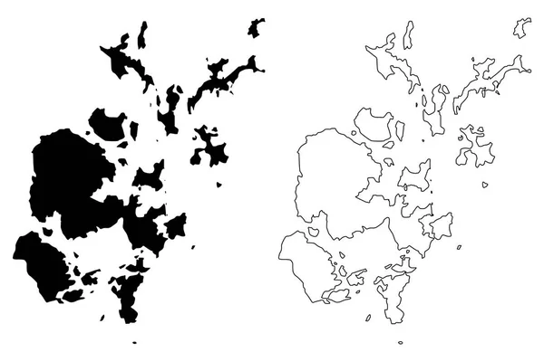
Orkney Islands (United Kingdom, Scotland, Local Government In Scotland) Map Vector Illustration, Scribble Sketch Orkney (Northern Isles) Map
Vector, 0.86MB, 7087 × 4726 eps


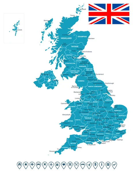
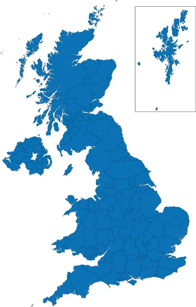
United Kingdom Of Great Britain And Northern Ireland Maps And Official Flag Icon. Vector British Political Map Icons And General Information. EU Geographic Banner Template. Business Concept Map
Vector, 0.68MB, 4000 × 4000 eps

United Kingdom Of Great Britain And Northern Ireland Map And Official Flag Icons. Vector British Political Map Thin Line Icon. EU Geographic Banner Template. Business Concept Maps
Vector, 3.59MB, 4000 × 4000 eps

United Kingdom Of Great Britain And Northern Ireland Map And Official Flag Icons. Vector British Political Maps Icon. Europe Geographic Banner Template. Business Concept Maps
Vector, 0.81MB, 6000 × 4000 eps

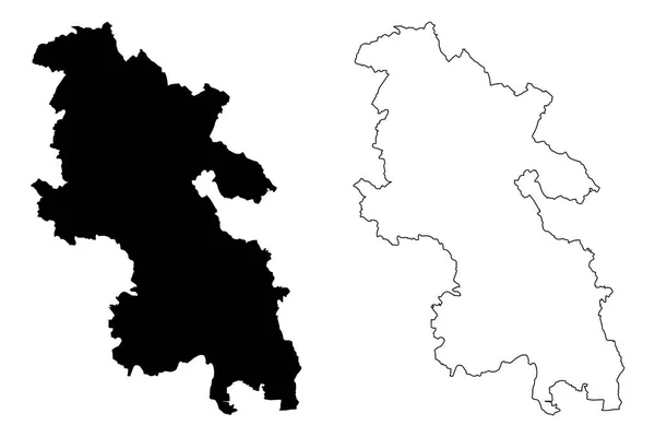
Tyne And Wear (United Kingdom, England, Metropolitan County) Map Vector Illustration, Scribble Sketch South Tyne And Wear Map
Vector, 0.64MB, 7087 × 4726 eps

Falkland Islands (British Overseas Territory, United Kingdom) Map Vector Illustration, Scribble Sketch Islas Malvinas (East And West Falkland) Ma
Vector, 1.25MB, 7087 × 4726 eps
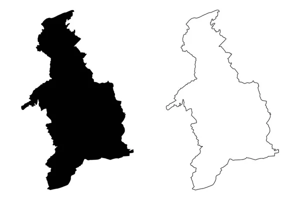
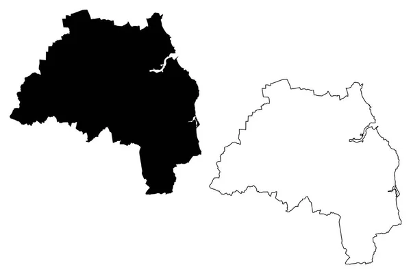
Powys (United Kingdom, Wales, Cymru, Principal Areas Of Wales) Map Vector Illustration, Scribble Sketch County Of Powys Map
Vector, 0.66MB, 7087 × 4726 eps
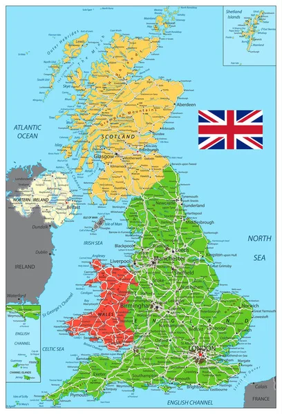

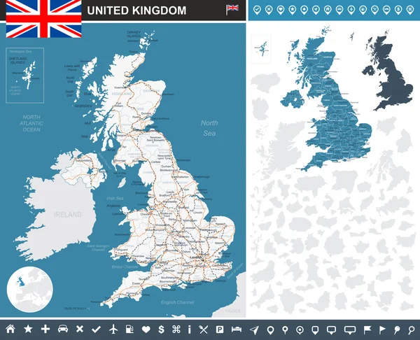
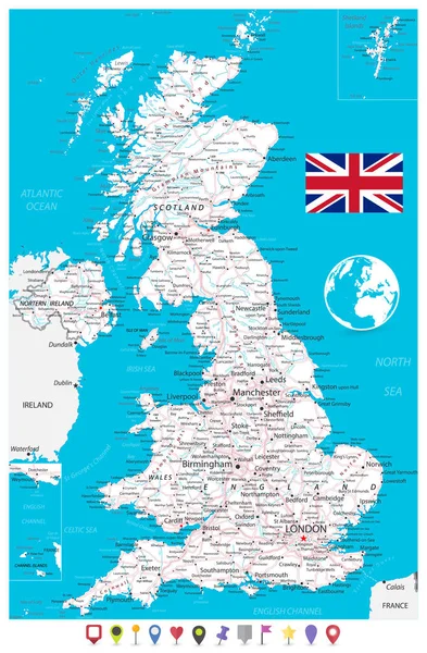
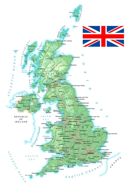
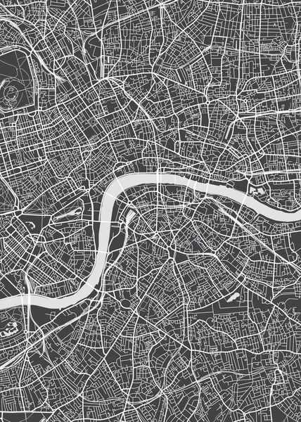
United Kingdom Map, Flag, Navigation Icons, Roads, Rivers - Illustration.
Vector, 3.83MB, 5400 × 6930 eps
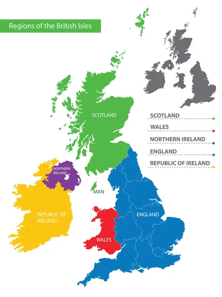
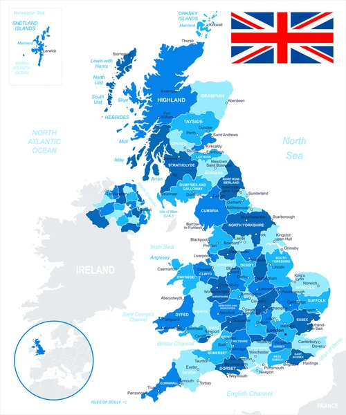
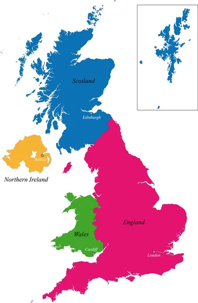
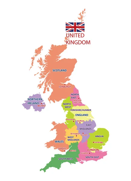
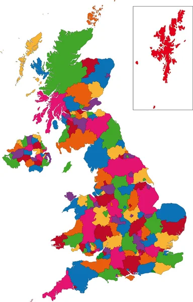
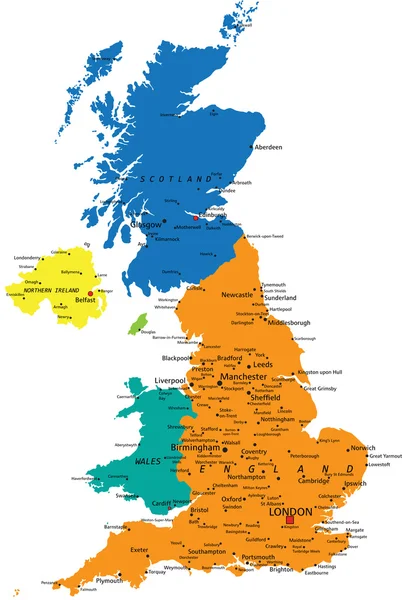
Color Detailed Map Of The Regions And Countries Of The British Isles For Your Design
Vector, 1.81MB, 5947 × 7951 eps


Anglesey (United Kingdom, Wales, Cymru, Principal Areas Of Wales) Map Vector Illustration, Scribble Sketch Isle Of Anglesey Map
Vector, 0.7MB, 7087 × 4726 eps
Cardiff (United Kingdom, Wales, Cymru, Principal Areas Of Wales) Map Vector Illustration, Scribble Sketch City And County Of Cardiff Map
Vector, 0.57MB, 7087 × 4726 eps
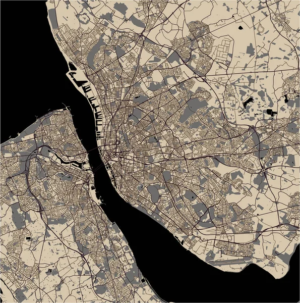
Vector Map Of The City Of Sheffield, South Yorkshire, Yorkshire And The Humber England, UK
Vector, 4.1MB, 4772 × 4168 eps


Map Of The City Of Leeds, West Yorkshire, Yorkshire And The Humber , England, UK
Vector, 4.96MB, 4168 × 4592 eps

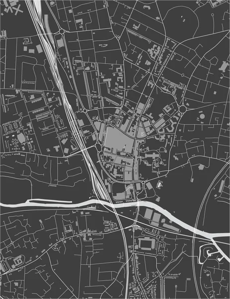
Vector Map Of The City Of Peterborough, Cambridgeshire, East Of England, England, UK
Vector, 2.98MB, 3751 × 4854 eps
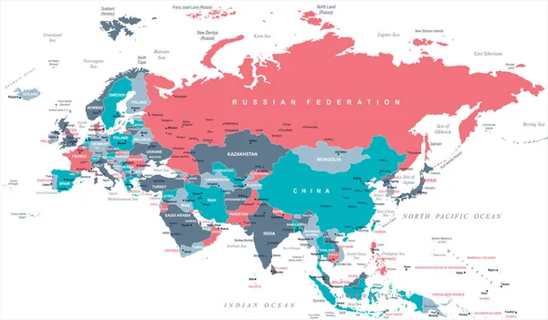
Eurasia Europa Russia China India Indonesia Thailand Map - Vector Illustration
Vector, 3.98MB, 7801 × 4572 eps

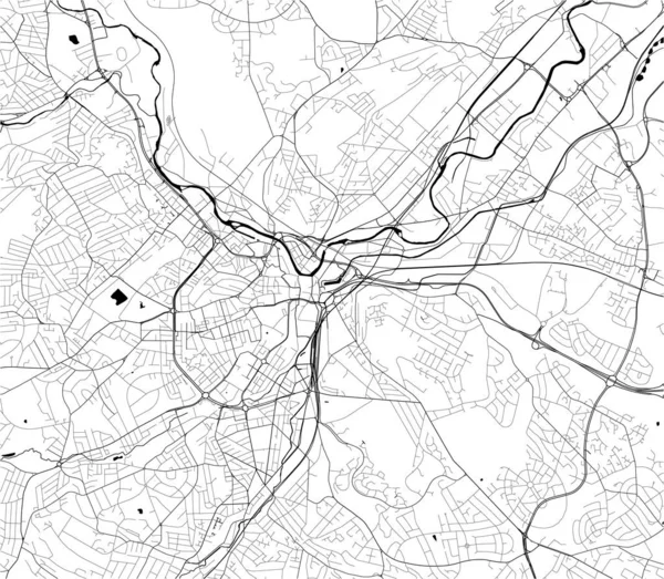
Vector Map Of The City Of Sunderland, Tyne And Wear, North East England, England, UK
Vector, 5.98MB, 4160 × 4583 eps
Page 1 >> Next