Home
Images
Vectors
Videos
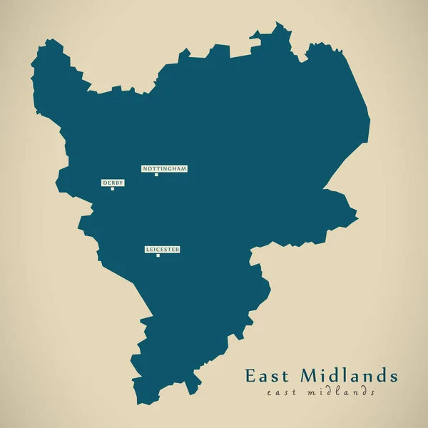
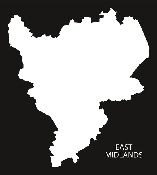
Stock vector East Midlands England Map black inverted
Published:
Feb.03, 2017 10:14:54
Author:
ingomenhard
Views:
27
Downloads:
1
File type:
vector
/
eps
File size:
5.21 MB
Orginal size:
5000
x
5585
px
Available sizes:
S
(448 x 500)
M
(895 x 1000)
L
(1791 x 2000)
XL
(5000 x 5585)
VECT
(5000 x 5585)
EL0
(5000 x 5585)
Level:
bronze
Download Vector
Vector topics:
Vector
Graphic
Illustration
Design
Shape
New
Black
Silhouette
Border
Modern
City
Flat
Grey
Simple
East
Country
Map
Area
Trip
State
Countries
Borders
Illustrations
Administrative
Department
States
Region
Division
Territory
England
Flats
Midlands
County
Divisions
Regional
Districts
Provinces
Regions
Counties
Departments
United Kingdom
East Midlands
Similar stock vectors
Grey County Map Of England, East Midlands
5000 × 5585
Modern Map - East Midlands UK England
4700 × 4701
Grey County Map Of England West Midlands
5000 × 5546
West Midlands England Map Black Inverted
5000 × 5546
Manchester City Map Grey Illustration Silhouette Shape
5000 × 9223
West Midlands County Divided In Districts With Labels, England
5000 × 3398
Grey County Map Of England, North East England
5000 × 6064
East Northamptonshire District Map - England UK
5802 × 7500