Home
Images
Vectors
Videos
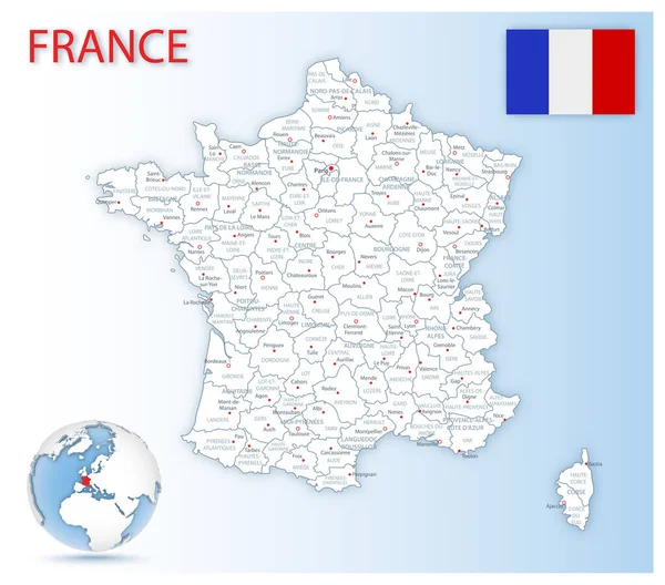
Stock vector France, gray political map. Regions of Metropolitan France. French Republic, capital Paris, administrative regions and prefectures on the mainland of Europe. English. Illustration over white. Vector.
Published:
Mar.26, 2020 09:14:28
Author:
Furian
Views:
53
Downloads:
5
File type:
vector
/
eps
File size:
3.15 MB
Orginal size:
6000
x
6000
px
Available sizes:
S
(500 x 500)
M
(1000 x 1000)
L
(2000 x 2000)
XL
(6000 x 6000)
VECT
(6000 x 6000)
EL0
(6000 x 6000)
Level:
silver
Download Vector
Vector topics:
Vector
Illustration
Isolated
European
French
Gray
France
Capital
North
Europe
Collective
Country
Map
Cartography
Geography
State
Island
Political
Administrative
Republic
Department
Paris
Region
Division
English
Prefecture
Bordeaux
Territory
Administration
Atlas
Brittany
Mainland
Province
Metropolitan
Nation
Mapping
Normandy
Toulouse
Marseille
Corsica
Territorial
Regions
Lyon
Strasbourg
LILLE
White Background
French Republic
Political Map
France Map
Similar stock vectors
Vector France Map
5820 × 5617
Vector Map Of France
4145 × 4000
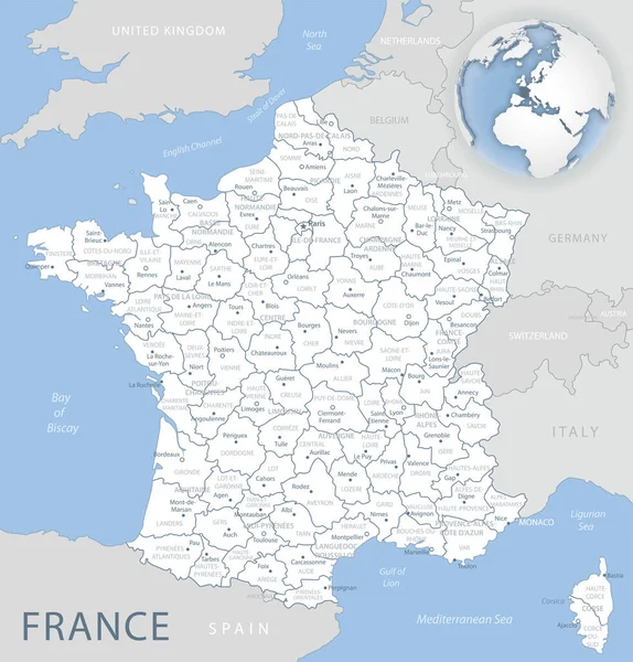
Blue-gray Detailed Map Of France And Administrative Divisions And Location On The Globe.
5248 × 5480
France, Political Map With Multicolored Regions Of Metropolitan France. French Republic, Capital Paris, Administrative Regions And Prefectures On The Mainland Of Europe. English. Illustration. Vector.
6000 × 6000
The Detailed Map Of The France With Regions Or States
7500 × 7500
Detailed Map Of France Administrative Divisions With Country Flag And Location On The Globe.
6034 × 5314
The Detailed Map Of The France With Regions
7500 × 7500
Map Of The Country Of France
2431 × 2431