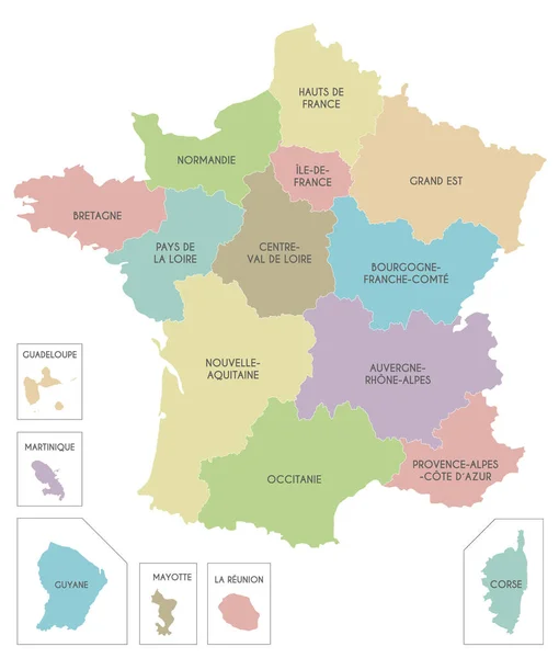
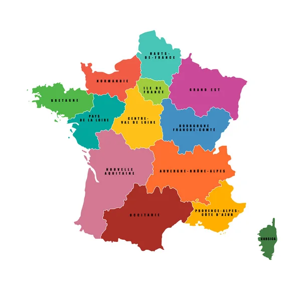
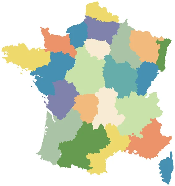
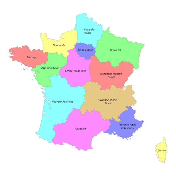
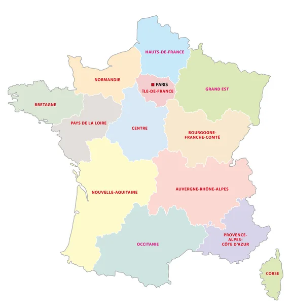
Stock vector Administrative map of the 13 regions of france since 2016
Published: Oct.17, 2016 09:13:51
Author: Lesniewski
Views: 401
Downloads: 2
File type: vector / eps
File size: 0.59 MB
Orginal size: 4632 x 4840 px
Available sizes:
Level: bronze