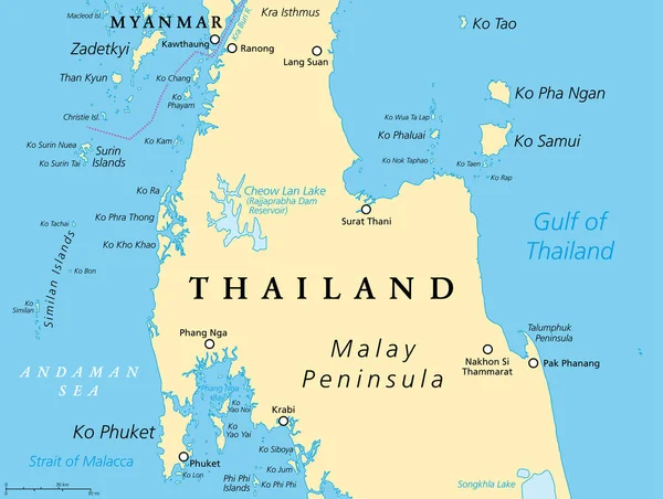
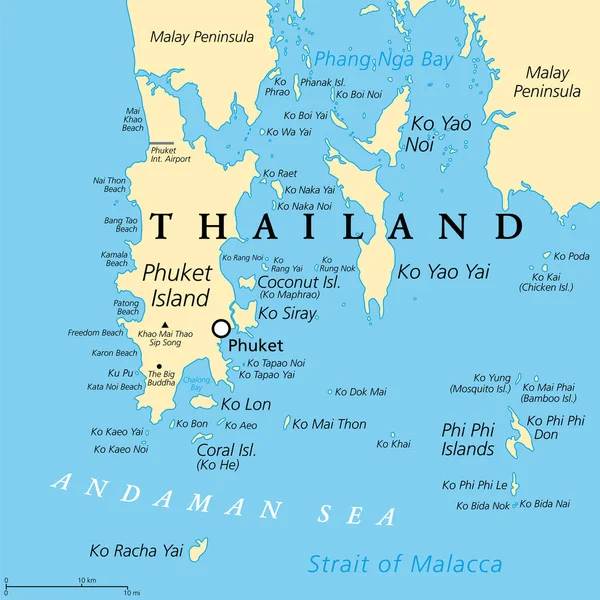
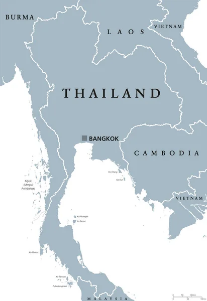
Stock vector From Ko Samui to Ko Tao, political map. Popular tourist and travel destinations with numerous islands off the coast of Thailand, geographically in the Chumphon Province and Surat Thani Province.

Published: Sep.28, 2022 13:44:46
Author: Furian
Views: 8
Downloads: 0
File type: vector / eps
File size: 1.8 MB
Orginal size: 6000 x 6000 px
Available sizes:
Level: silver