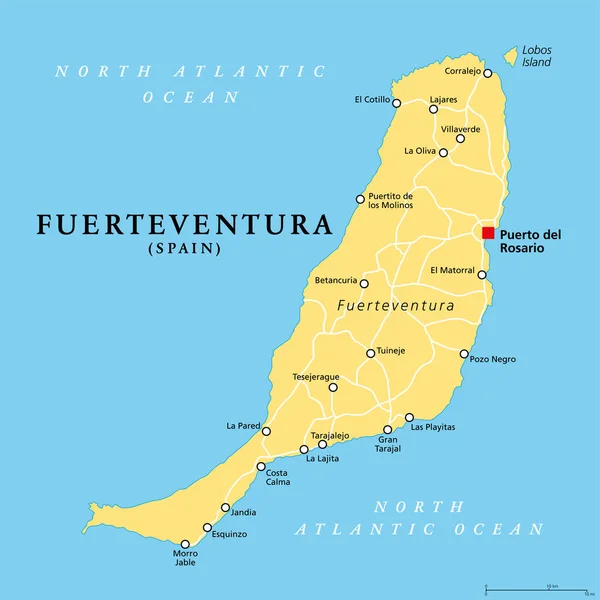
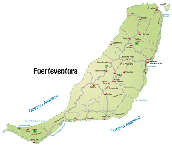
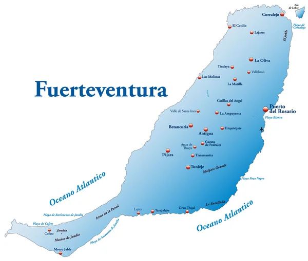
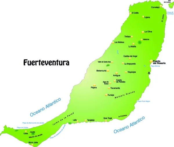
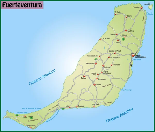
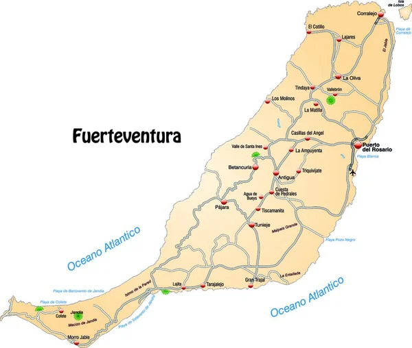
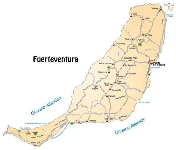
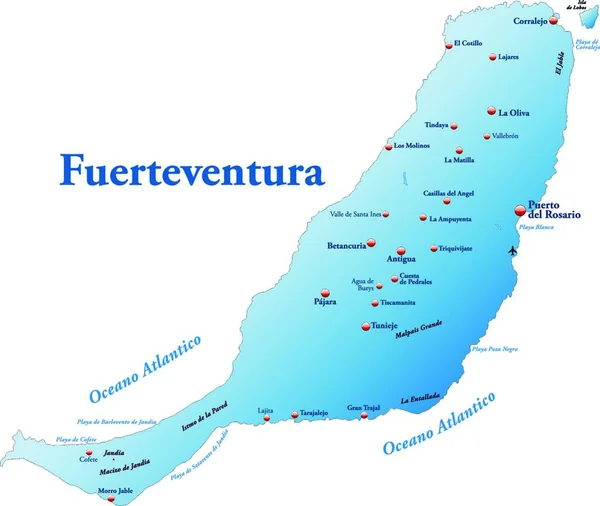
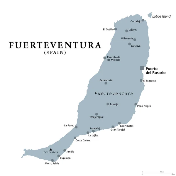
Stock vector Fuerteventura island, gray political map with capital Puerto del Rosario. Part of Canary Islands, an archipelago and autonomous community of Spain in the North Atlantic Ocean, off the coast of Africa.
Published: Sep.27, 2021 07:04:27
Author: Furian
Views: 69
Downloads: 0
File type: vector / eps
File size: 2.8 MB
Orginal size: 6000 x 6000 px
Available sizes:
Level: silver