Home
Images
Vectors
Videos
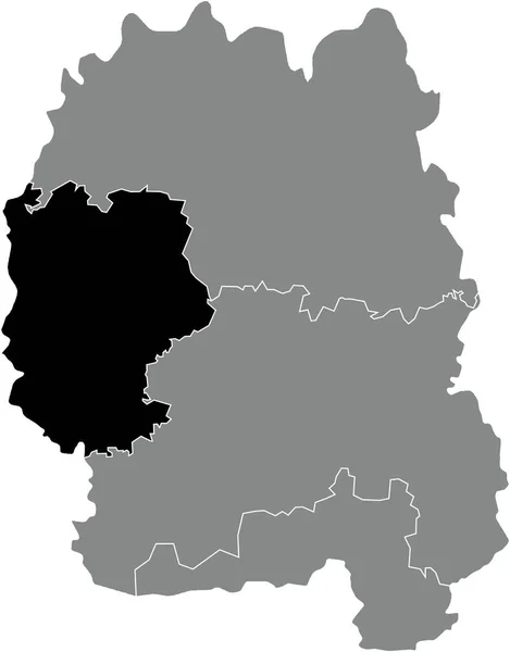
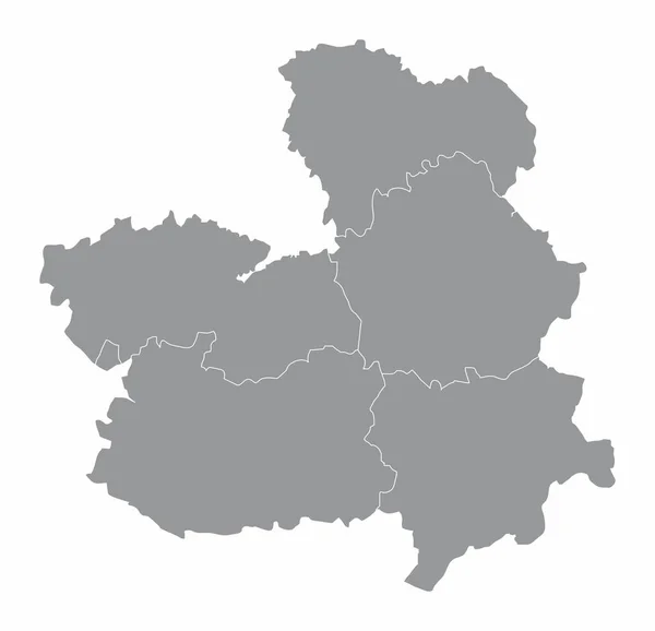
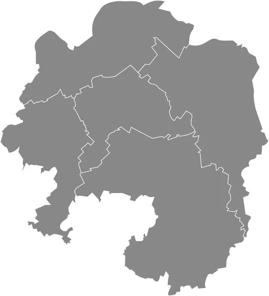
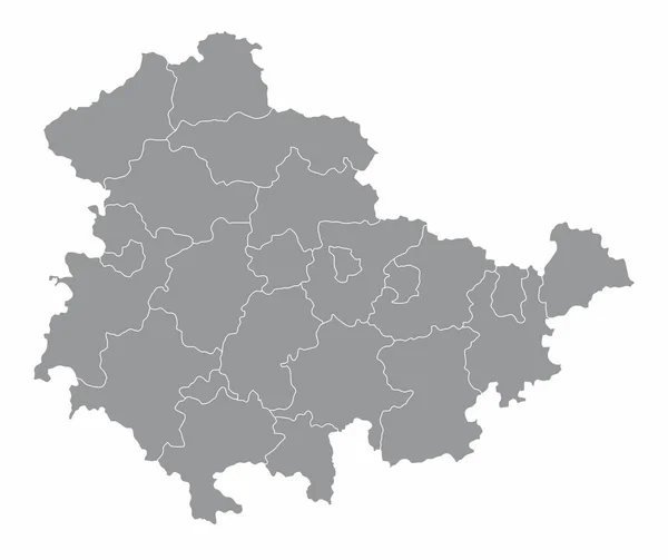
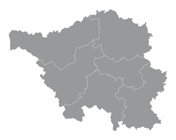
Stock vector Gray flat blank vector map of raion areas of the Ukrainian administrative area of ZHYTOMYR OBLAST, UKRAINE with white border lines of its raions
Published:
Mar.18, 2022 08:17:00
Author:
momcilo.jovanov
Views:
2
Downloads:
0
File type:
vector
/
eps
File size:
0.52 MB
Orginal size:
4316
x
5510
px
Available sizes:
S
(392 x 500)
M
(783 x 1000)
L
(1567 x 2000)
XL
(4316 x 5510)
VECT
(4316 x 5510)
EL0
(4316 x 5510)
Level:
bronze
Download Vector
Vector topics:
Vector
Illustration
Design
Sign
Travel
Ethnicity
Mountain
Flag
Road
Position
Symbol
Icon
City
Ukraine
Europe
Journey
Outline
District
Direction
Map
Cartography
Land
Topography
Patriotism
Island
Unity
Voting
Insignia
Election
Coat Of Arms
Cut Out
Travel Destinations
National Flag
No People
Country Road
Physical Geography
Line Art
Ukrainian Flag
Contour Line
Relief Carving
Relief Map
Topographic Map
Ukrainian Culture
Flat Design
In Silhouette
Ukrainian Language
Zhytomyr Oblast
Similar stock vectors
Black Flat Blank Highlighted Location Map Of The BERDYCHIV RAION Inside Gray Raions Map Of The Ukrainian Administrative Area Of Zhytomyr Oblast, Ukraine
4316 × 5510
Black Flat Blank Highlighted Location Map Of The NOVOHRAD-VOLYNSKYI RAION Inside Gray Raions Map Of The Ukrainian Administrative Area Of Zhytomyr Oblast, Ukraine
4316 × 5510
The Castilla-La Mancha Region Map Divided In Provinces, Spain
5000 × 4826
Gray Flat Blank Vector Administrative Map Of HAGEN, GERMANY With Black Border Lines Of Its Districts
4737 × 5210
Black Flat Blank Highlighted Location Map Of The KOROSTEN RAION Inside Gray Raions Map Of The Ukrainian Administrative Area Of Zhytomyr Oblast, Ukraine
4316 × 5510
The Thuringia Isolated Map Divided In Districts, Germany
5000 × 4201
The Saarland Isolated Map Divided In Districts, Germany
5000 × 4000
Map Of Belarus
8017 × 6767