Home
Images
Vectors
Videos
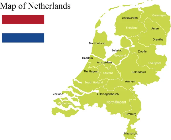
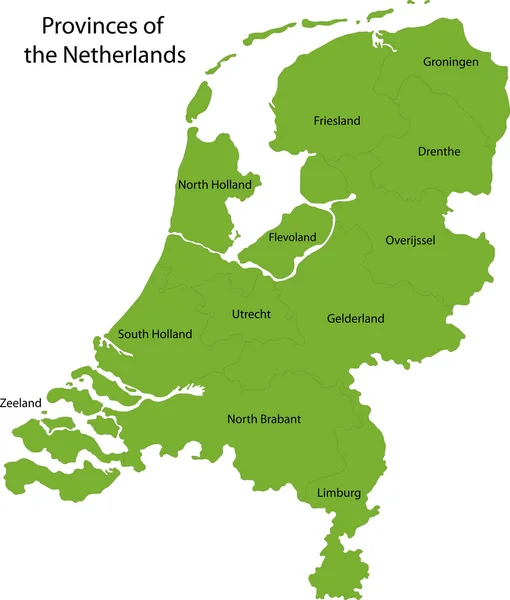
Stock vector Green Netherlands map
Published:
Oct.02, 2013 10:24:42
Author:
Volina
Views:
448
Downloads:
0
File type:
vector
/
eps
File size:
2.89 MB
Orginal size:
7372
x
8654
px
Available sizes:
S
(426 x 500)
M
(852 x 1000)
L
(1704 x 2000)
XL
(7372 x 8654)
VECT
(7372 x 8654)
EL0
(7372 x 8654)
Level:
silver
Download Vector
Vector topics:
Green
Element
Illustration
Design
Isolated
Travel
Detail
Maple
Cutout
European
Silhouette
Border
Symbol
City
Contour
Netherlands
Detailed
Europe
Outline
Country
District
Map
Geography
National
Continent
State
Location
Boundary
Political
Administrative
Of
Kingdom
Region
Division
The
Territory
Atlas
Province
Dutch
Amsterdam
County
Territories
Politically
Geographically
Similar stock vectors
Colorful Netherlands Map
4603 × 5402
Labeled Colorful Provinces Map Of European Country Of Netherlands
3600 × 4800
The Detailed Map Of Netherlands With Regions. Administrative Division.
5000 × 6000
Netherlands Political Map Vector Illustration
2912 × 2380
Netherlands - Political Map
4572 × 5670
Netherlands
4427 × 5000
Political Map - Netherlands.
4575 × 5673
Netherlands Map - High Details Vector Illustration
4911 × 5731