Home
Images
Vectors
Videos
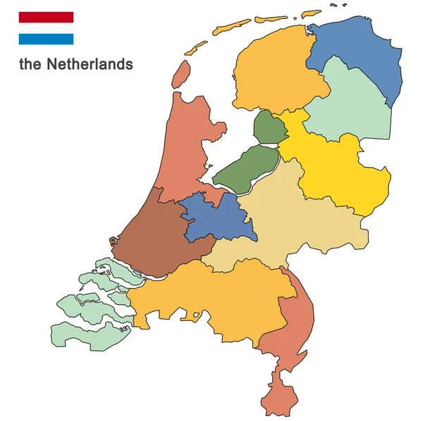
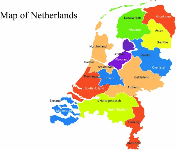
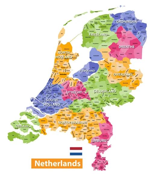
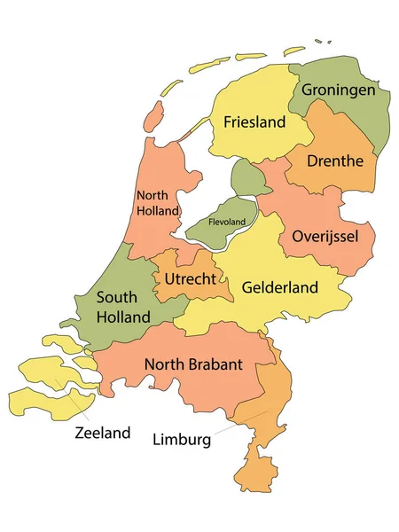
Stock vector Netherlands political map vector illustration
Published:
May.27, 2019 06:11:07
Author:
marsvector
Views:
12
Downloads:
2
File type:
vector
/
eps
File size:
2.28 MB
Orginal size:
2912
x
2380
px
Available sizes:
S
(500 x 409)
M
(1000 x 817)
L
(2000 x 1635)
XL
(2912 x 2380)
VECT
(2912 x 2380)
EL0
(2912 x 2380)
Level:
beginner
Download Vector
Vector topics:
Blue
Vector
Background
Illustration
European
City
Netherlands
Holland
Detailed
Capital
Europe
China
Country
Map
Geography
Germany
Land
Topography
Island
Political
Europa
Denmark
Editable
Poland
Eurasia
Similar stock vectors
Colored Silhouettes Of The Netherlands And The Regions
8350 × 8327
Netherlands Map Vector Illustration
2722 × 2333
Netherlands High Detailed Local Municipalities Map Colored By Provinces. All Elements Are Separated In Detachable And Labeled Layers. Vector
6537 × 7292
Labeled Colorful Provinces Map Of European Country Of Netherlands
3600 × 4800
The Detailed Map Of Netherlands With Regions. Administrative Division.
5000 × 6000
Colorful Netherlands Map
4603 × 5402
The Detailed Map Of Netherlands With Regions Or States And Cities, Capital. Administrative Division.
5000 × 6000
The Netherlands And Provinces
5079 × 5079