Home
Images
Vectors
Videos
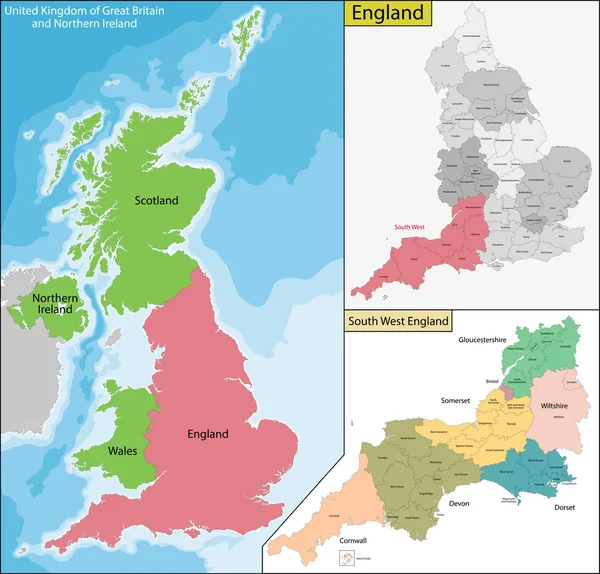
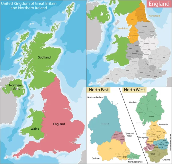
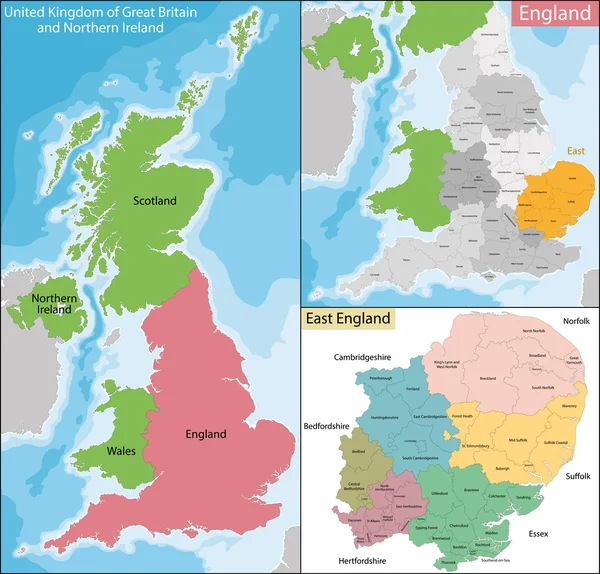
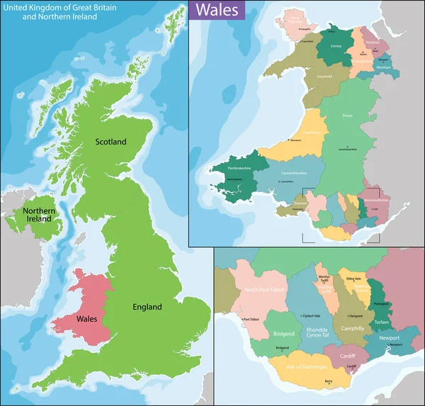
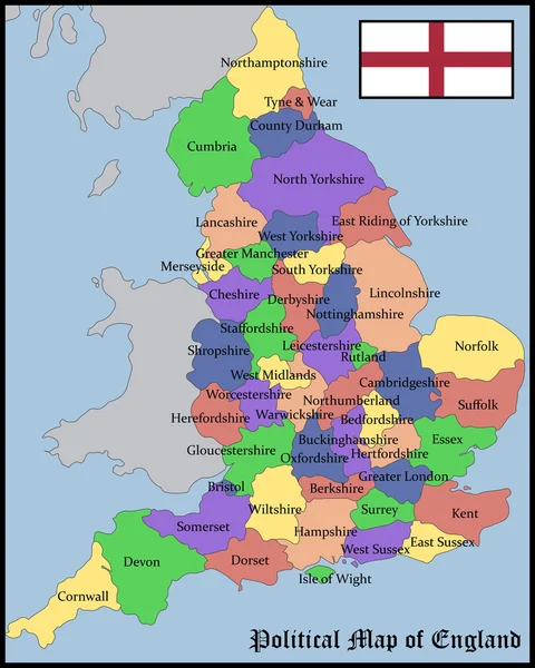
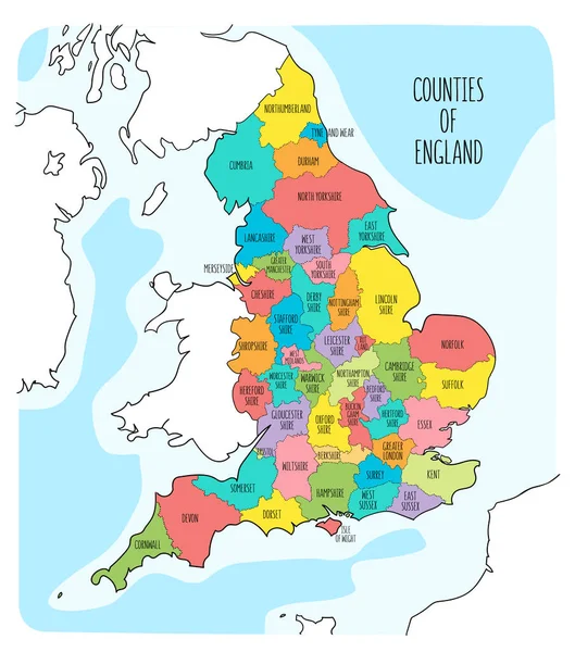
Stock vector Map of Yorkshire and the Humber
Published:
Jul.14, 2016 13:36:12
Author:
Volina
Views:
303
Downloads:
3
File type:
vector
/
eps
File size:
9.08 MB
Orginal size:
7006
x
6706
px
Available sizes:
S
(500 x 479)
M
(1000 x 957)
L
(2000 x 1914)
XL
(7006 x 6706)
VECT
(7006 x 6706)
EL0
(7006 x 6706)
Level:
silver
Download Vector
Vector topics:
Illustration
Travel
Detail
Maple
European
Silhouette
City
Contour
Detailed
Europe
District
Map
Geography
Location
Island
Political
Administrative
Hull
London
Region
York
English
British
Territory
England
Atlas
Yorkshire
Province
Wales
Irish
Scotland
Briton
Lincolnshire
Politically
Great Britain
United Kingdom
Northern Ireland
Geographically
Sovereign State
Yorkshire And The Humber
Similar stock vectors
Map Of England
7021 × 6720
Map Of West Midlands England
7006 × 6706
Map Of South East England
7006 × 6706
Map Of North East And West England
7021 × 6721
Map Of East England
7006 × 6706
Map Of Wales
7011 × 6703
Political Map Of England
4810 × 6000
Hand Drawn Map Of England And The British Isles. Colorful Hand Drawn Vector Illustration
6000 × 6800