Home
Images
Vectors
Videos
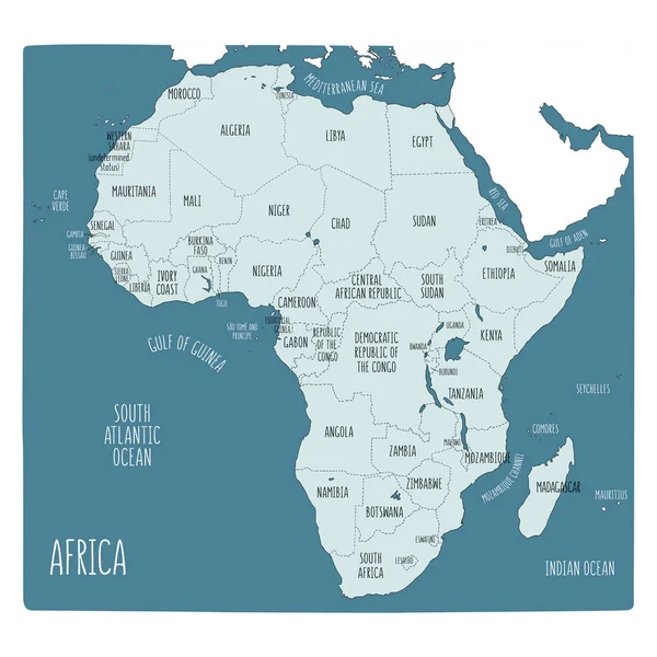
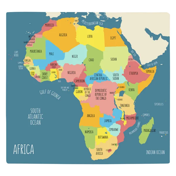
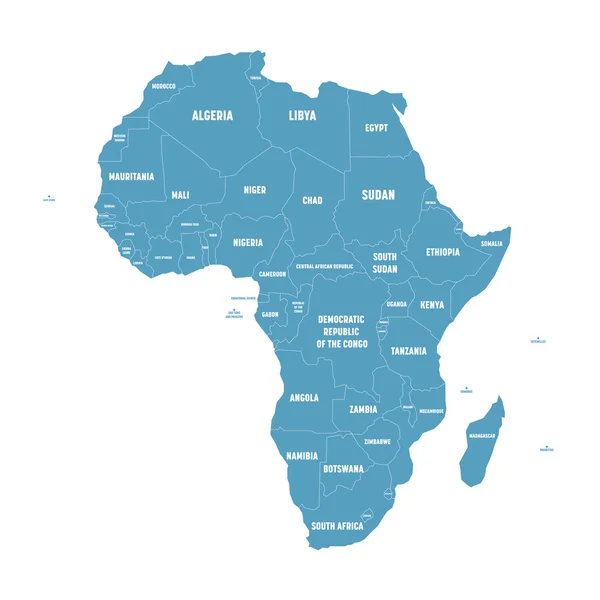
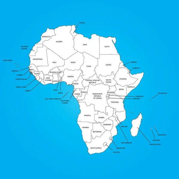
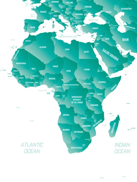
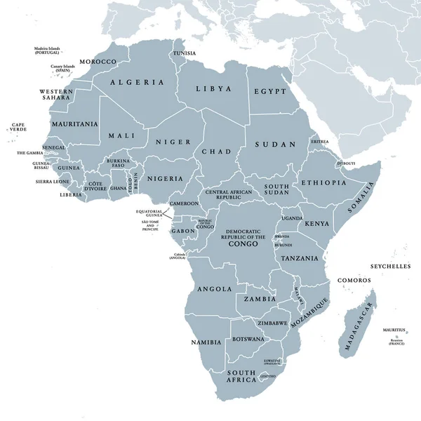
Stock vector Hand drawn political map of Africa.
Published:
Feb.28, 2019 09:41:47
Author:
LaraFields
Views:
13
Downloads:
0
File type:
vector
/
eps
File size:
8.26 MB
Orginal size:
6001
x
6001
px
Available sizes:
S
(500 x 500)
M
(1000 x 1000)
L
(2000 x 2000)
XL
(6001 x 6001)
VECT
(6001 x 6001)
EL0
(6001 x 6001)
Level:
beginner
Download Vector
Vector topics:
Color
Vector
Background
Graphic
Illustration
Labeling
Travel
Border
Kids
African
World
Northern
South
Sketch
Eastern
Country
Map
Cartography
Geography
Africa
Algeria
Continent
Egypt
Land
State
Countries
Political
Region
Division
Doodle
English
Atlas
Nation
Morocco
Libya
Names
Madagascar
Niger
Ethiopia
Cameroon
Angola
Sudan
Landmass
Infographic
South Africa
Hand Drawn
Political Map
Africa Map
Subregion
English Labeling
Similar stock vectors
Hand Drawn Political Map Of Africa.
6001 × 6001
Colorful Hand Drawn Political Map Of Africa.
6001 × 6001
Modern Map - Africa Continent With Country Labels
5311 × 5000
Africa Map - Vector Illustration
5500 × 6380
Simple Flat Blue Map Of Africa Continent With National Borders And Country Name Labels On White Background. Vector Illustration
6000 × 6000
Outline On Clean Background Of The Continent Of
6250 × 6250
Africa - High Detailed Political Map Of African Continent With Country, Ocean And Sea Names Labeling.
6000 × 8000
Africa, Single Countries, Gray Political Map. Largest Continent, Including Madagascar. With English Country Names And International Borders. Isolated Illustration On White Background. Vector.
6000 × 6000