Home
Images
Vectors
Videos
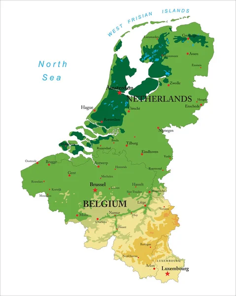
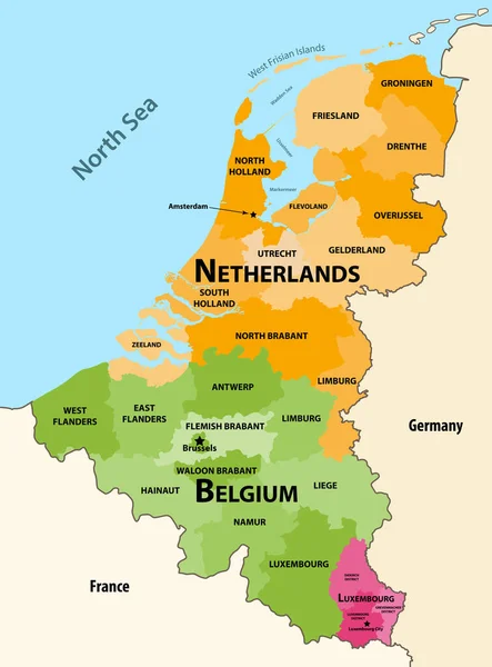
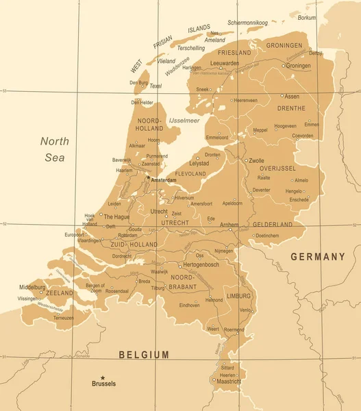
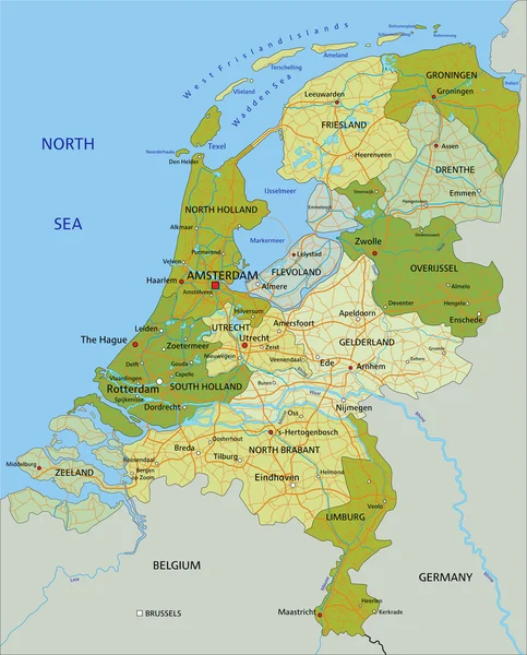
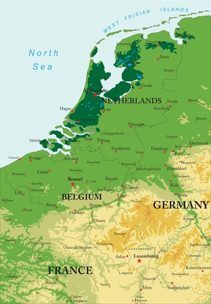
Stock vector Highly detailed physical map of Benelux in vector
Published:
Jun.30, 2020 08:37:09
Author:
BogdanSerban
Views:
13
Downloads:
0
File type:
vector
/
eps
File size:
3.06 MB
Orginal size:
3473
x
5000
px
Available sizes:
S
(347 x 500)
M
(695 x 1000)
L
(1389 x 2000)
XL
(3473 x 5000)
VECT
(3473 x 5000)
EL0
(3473 x 5000)
Level:
beginner
Download Vector
Vector topics:
Mountain
France
Netherlands
Europe
Hill
West
Germany
Belgium
Amsterdam
Rotterdam
Luxembourg
Antwerp
Benelux
Brugge
Brussel
Liege
Duisburg
Dortmund
Bonn
Eindhoven
LILLE
Gent
Mons
Utrecht
Metz
Groningen
Assen
North Sea
Verdun
Zwolle
The Hague
Tilburg
Nijmegen
Frisian Islands
Similar stock vectors
Highly Detailed Physical Map Of Benelux In Vector
3997 × 5000
Netherlands Map - Vintage Vector Illustration
5500 × 6253
Vector Regions Map Of Benelux Countries: Belgium, Netherlands And Luxembourg, With Neighbouring Countries And Territories
6156 × 8333
Netherlands Map - Vintage Vector Illustration
5500 × 6258
Netherlands - Political Map With Separated Layers.
4575 × 5673
Netherlands Map - Vintage Vector Illustration
5500 × 6388
Benelux Single States Political Map. Region Formed By The Countries Belgium, Netherlands And Luxembourg. The Name Benelux Comes From The First Letters Of The Countries. Illustration Over White. Vector
6622 × 9000