Home
Images
Vectors
Videos
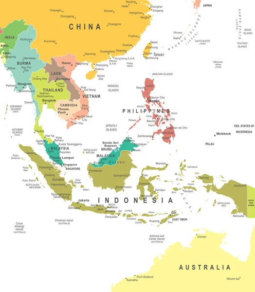
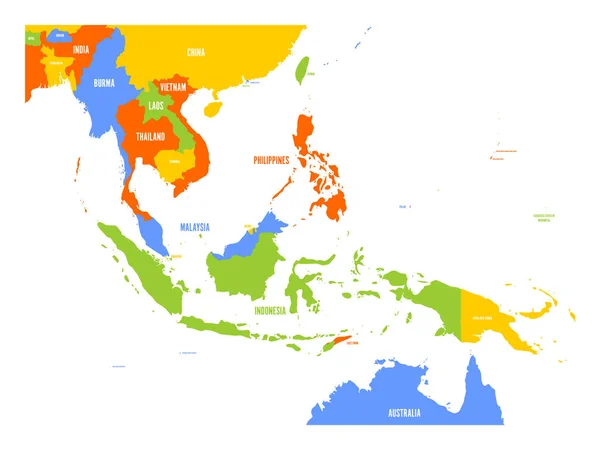
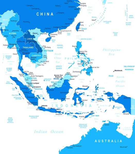
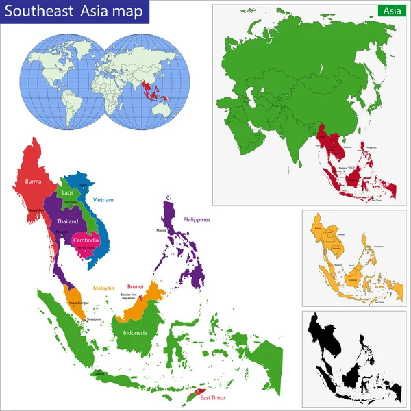
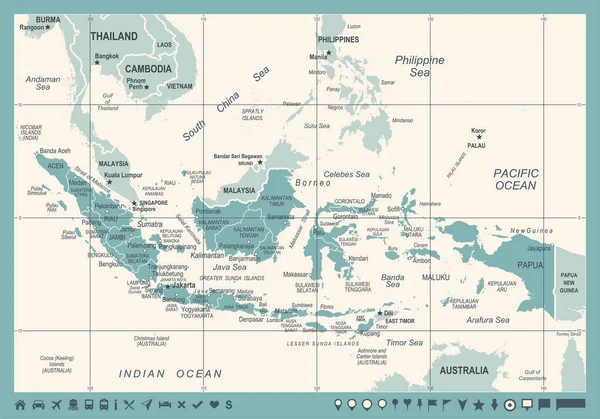
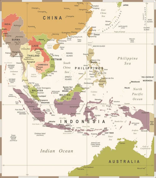
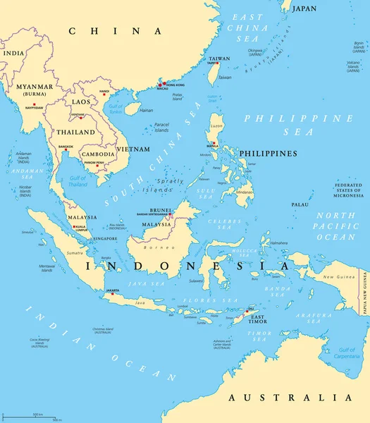
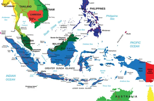
Stock vector Indonesia detailed vector map with country borders, county names, main roads and a highly detailed state silhouette.
Published:
Jun.30, 2020 08:36:42
Author:
BogdanSerban
Views:
16
Downloads:
0
File type:
vector
/
eps
File size:
2.31 MB
Orginal size:
5000
x
3273
px
Available sizes:
S
(500 x 327)
M
(1000 x 655)
L
(2000 x 1309)
XL
(5000 x 3273)
VECT
(5000 x 3273)
EL0
(5000 x 3273)
Level:
beginner
Download Vector
Vector topics:
Vector
Illustration
Sea
Silhouette
City
Ocean
Cartography
Geography
Pacific
Vietnam
Thailand
Australia
Manila
Malaysia
Indonesia
Bali
Singapore
Cambodia
Borneo
Sumatra
Myanmar
BRUNEI
Philippines
Laos
Burma
Jakarta
Sulawesi
Luzon
Celebes
Mindanao
Rangoon
Sunda
Spratly
Similar stock vectors
Southeast Asia - Map - Illustration.
6400 × 7315
Vector Map Of Southeast Asia
6000 × 4500
Southeast Asia Political Divisions
5257 × 6014
Southeast Asia - Map - Illustration.
5400 × 6172
Southeastern Asia Map
7000 × 7000
Indonesia Map - Vintage Vector Illustration
7861 × 5500
Southeast Asia Map - Vintage Vector Illustration
5500 × 6271
Southeast Asia, Political Map With Capitals And Borders. Subregion Of Asia With Countries South Of China, East Of India, West Of New Guinea, North Of Australia. English Labeling. Illustration. Vector.
7292 × 8333