photo free
Home Images Vectors Videos

Stock vector Iran with provinces, gray political map, with borders, capital Tehran and major cities. The Islamic Republic of Iran, also known as Persia, a country in West Asia, divided into 31 provinces. Vector
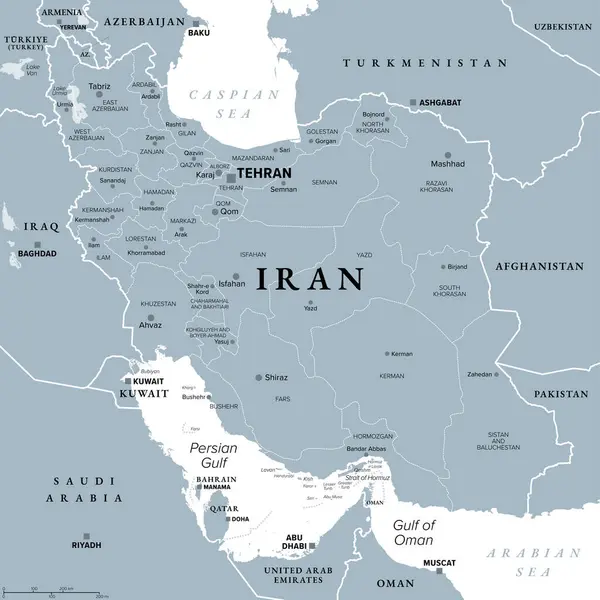
Stock vector Iran with provinces, gray political map, with borders, capital Tehran and major cities. The Islamic Republic of Iran, also known as Persia, a country in West Asia, divided into 31 provinces. Vector
Published: May.27, 2024 11:13:29
Author: Furian
Views: 0
Downloads: 0
File type: vector / eps
File size: 4.78 MB
Orginal size: 6000 x 6000 px
Available sizes:
S
(500 x 500)
M
(1000 x 1000)
L
(2000 x 2000)
XL
(6000 x 6000)
VECT
(6000 x 6000)
EL0
(6000 x 6000)
Level: silver
Download Vector
Vector topics:

Similar stock vectors

stock vector Iran political map

Iran Political Map

9033 × 6997
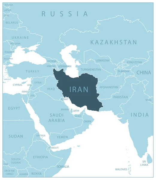
stock vector Iran - blue map with neighboring countries and names. Vector illustration

Iran - Blue Map With Neighboring Countries And Names. Vector Illustration

5261 × 6051
stock vector Map of Iran - Highly Detailed Vector illustration

Map Of Iran - Highly Detailed Vector Illustration

5702 × 5702
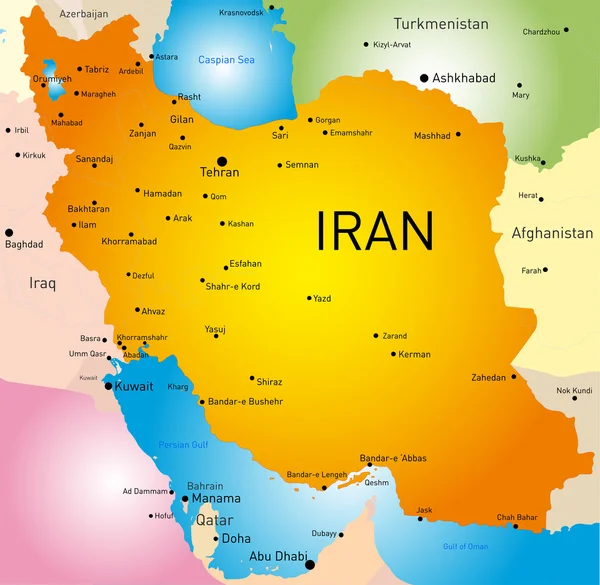
stock vector Iran country

Iran Country

7423 × 7239
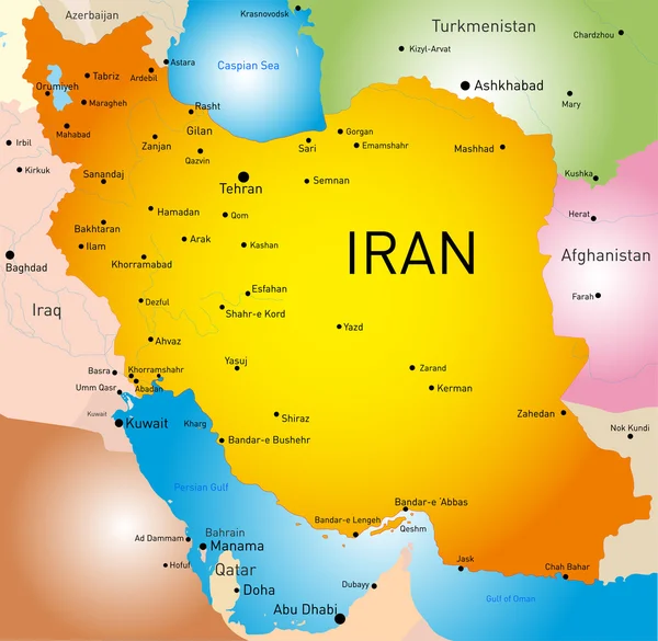
stock vector Iran country

Iran Country

4436 × 4327
stock vector Iran Map. Stock Vector Illustration

Iran Map. Stock Vector Illustration

5000 × 5000
stock vector Iran, political map with provinces, borders, capital Tehran and major cities. The Islamic Republic of Iran, IRI, also known as Persia, a country in West Asia, divided into 31 provinces. Illustration

Iran, Political Map With Provinces, Borders, Capital Tehran And Major Cities. The Islamic Republic Of Iran, IRI, Also Known As Persia, A Country In West Asia, Divided Into 31 Provinces. Illustration

6000 × 6000
stock vector Iran Political Map

Iran Political Map

7734 × 6000