Home
Images
Vectors
Videos
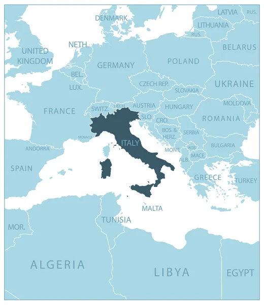
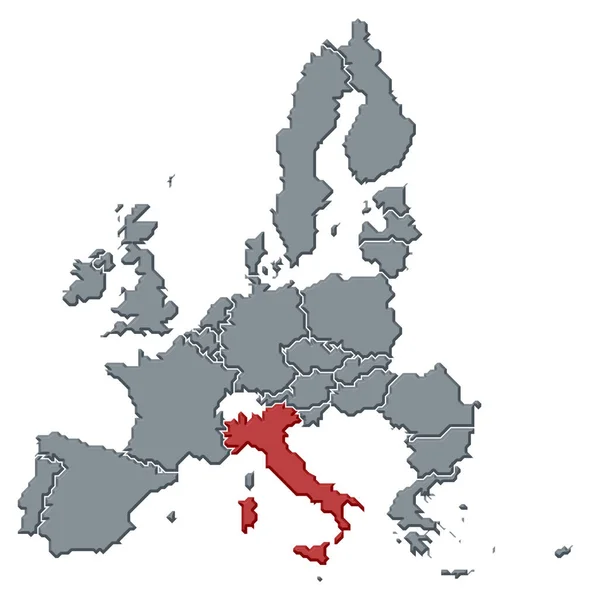
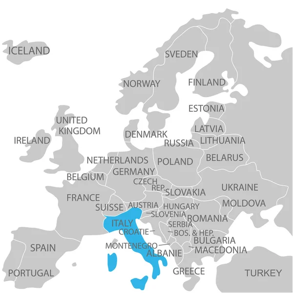
Stock vector Italy - blue map with neighboring countries and names. Vector illustration
Published:
Jun.30, 2023 17:11:42
Author:
gt29
Views:
1
Downloads:
0
File type:
vector
/
eps
File size:
1.2 MB
Orginal size:
5258
x
6066
px
Available sizes:
S
(433 x 500)
M
(867 x 1000)
L
(1734 x 2000)
XL
(5258 x 6066)
VECT
(5258 x 6066)
EL0
(5258 x 6066)
Level:
bronze
Download Vector
Vector topics:
White
Blue
Vector
Background
Business
Travel
Transportation
European
Border
Road
Contour
Earth
World
Italy
Italian
Tourism
Delivery
Europe
Collection
Layout
Country
Map
Cartography
Geography
Continent
Separation
State
Traveling
Rome
Political
Printed
Division
Marker
Provinces
Territories
Municipalities
Light Blue
Italy Map
Similar stock vectors
Italy Marked By Blue In Grey Political Map Of Europe. Vector Illustration
6000 × 6000
Serbia - Blue Map With Neighboring Countries And Names. Vector Illustration
4852 × 6536
Albania - Blue Map With Neighboring Countries And Names. Vector Illustration
4887 × 6592
Political Map Of The European Union With The Several States Where Italy Is Highlighted.
6772 × 6850
Croatia - Detailed Contour Of The Country. Vector Illustration
4793 × 6710
World Map Paper. Political Map Of The World On A Gray Background. Countries. Vector Illustration. White.
4170 × 4170
South Europe Region. Map Of Countries In Southern Europe Around Mediterranean Sea. Vector Illustration
6000 × 6000
South Europe Region. Map Of Countries In Southern Europe Around Mediterranean Sea. Vector Illustration
6000 × 6000