Home
Images
Vectors
Videos
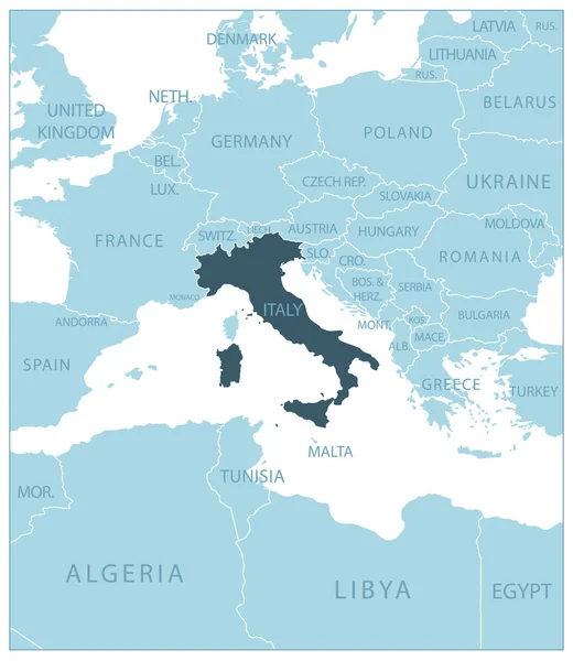
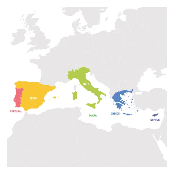
Stock vector South Europe Region. Map of countries in southern Europe around Mediterranean Sea. Vector illustration
Published:
May.14, 2019 10:14:02
Author:
pyty
Views:
14
Downloads:
0
File type:
vector
/
eps
File size:
1.83 MB
Orginal size:
6000
x
6000
px
Available sizes:
S
(500 x 500)
M
(1000 x 1000)
L
(2000 x 2000)
XL
(6000 x 6000)
VECT
(6000 x 6000)
EL0
(6000 x 6000)
Level:
silver
Download Vector
Vector topics:
Group
Blue
Vector
Background
Graphic
Illustration
Isolated
Business
Labeling
Travel
Orange
Sea
European
Border
Gray
Global
Grey
Highlight
World
Italy
Europe
South
Outline
Country
Map
Cartography
Geography
Continent
Land
Mediterranean
Portugal
Spain
Cyprus
Spectrum
Greece
State
Focused
Political
Region
Southern
Central
Atlas
Malta
Regional
Geopolitical
Mediterranean Sea
Political Map
Subregion
Similar stock vectors
South Europe Region. Map Of Countries In Southern Europe Around Mediterranean Sea. Vector Illustration
6000 × 6000
South Europe Region. Colorful Map Of Countries In Southern Europe Around Mediterranean Sea. Vector Illustration
6000 × 6000
South Europe Region. Map Of Countries In Southern Europe Around Mediterranean Sea. Vector Illustration
6000 × 6000
South Europe Region. Map Of Countries In Southern Europe Around Mediterranean Sea. Vector Illustration
6000 × 6000
Political Map Of The European Union With The Several States Where Italy Is Highlighted.
6772 × 6850
Italy Marked By Blue In Grey Political Map Of Europe. Vector Illustration
6000 × 6000
Italy - Blue Map With Neighboring Countries And Names. Vector Illustration
5258 × 6066
Italy Map In Flag Colors With Neighboring States, Administrative Division And Names With Cities, Blue Background Vector
3900 × 4437