Home
Images
Vectors
Videos
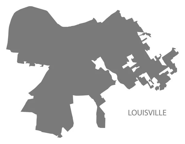
Stock vector Louisville Kentucky city map with neighborhoods grey illustration silhouette shape
Published:
May.18, 2018 05:26:18
Author:
ingomenhard
Views:
10
Downloads:
0
File type:
vector
/
eps
File size:
4.98 MB
Orginal size:
6412
x
5000
px
Available sizes:
S
(500 x 390)
M
(1000 x 780)
L
(2000 x 1560)
XL
(6412 x 5000)
VECT
(6412 x 5000)
EL0
(6412 x 5000)
Level:
bronze
Download Vector
Vector topics:
Graphic
Illustration
Design
Isolated
Shape
New
Silhouette
Border
Modern
City
Flat
Grey
Simple
Usa
Country
Map
Area
Trip
State
Administrative
Department
Region
Division
Territory
Province
Neighborhood
County
Divisions
Regional
Districts
Kentucky
Regions
Louisville
United States
United States Of America
Similar stock vectors
Louisville Kentucky City Map Grey Illustration Silhouette Shape
6412 × 5000
Modern City Map - Louisville Kentucky City Of The USA With Neighborhoods
6216 × 5000
Baltimore Maryland City Map With Neighborhoods Grey Illustration Silhouette Shape
5000 × 6079
Modern City Map - Louisville Kentucky City Of The USA With Neighborhoods And Titles Outline Map
6529 × 5000
Philadelphia City Map With Boroughs Grey Illustration Silhouette
5000 × 5388
Administrative Road Map Of The Metropolitan Area Of Atlanta Georgia
3265 × 3100
Lexington-Fayette Kentucky City Map With Neighborhoods Grey Illustration Silhouette Shape
5000 × 5982
Louisville United States North America City Map Black White Vector Illustration
2210 × 2457