Home
Images
Vectors
Videos
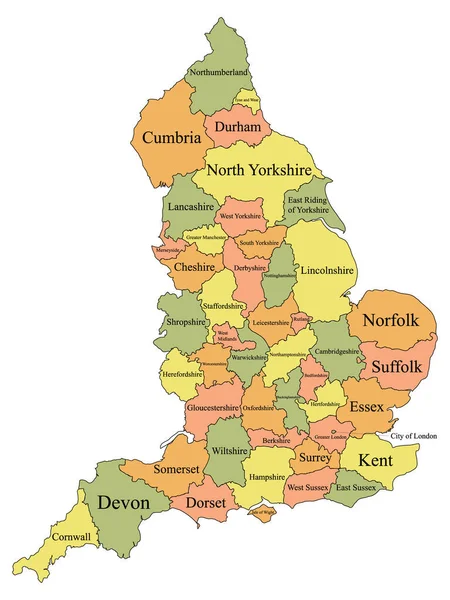
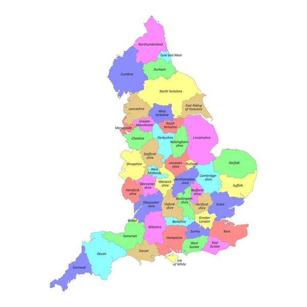
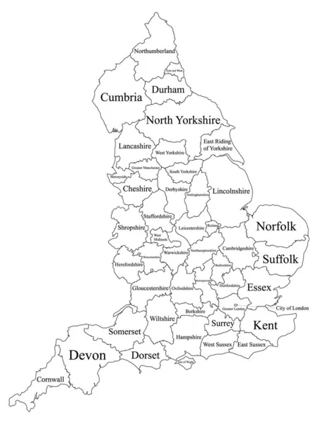
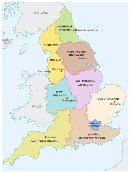
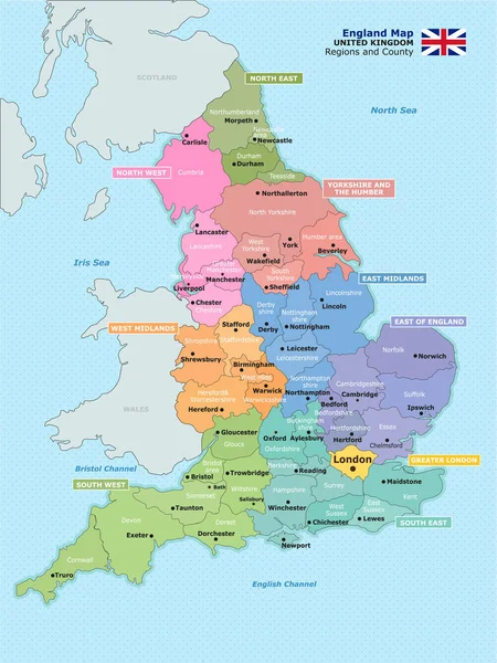
Stock vector Map of administrative divisions of England.
Published:
Mar.31, 2020 07:15:44
Author:
nyddyo@gmail.com
Views:
166
Downloads:
2
File type:
vector
/
eps
File size:
8.08 MB
Orginal size:
3754
x
5003
px
Available sizes:
S
(375 x 500)
M
(750 x 1000)
L
(1501 x 2000)
XL
(3754 x 5003)
VECT
(3754 x 5003)
EL0
(3754 x 5003)
Level:
beginner
Download Vector
Vector topics:
England
Map Of England
Uk Map
England Map
England Dviision Map
England Region Map
UK Region Map
England City Map
Similar stock vectors
Labeled Color Ceremonial Counties Map Of European Country Of England
3600 × 4800
High Quality Colorful Labeled Map Of England With Borders Of The Counties
4000 × 4000
Map England. Poster Map Of Regions Of England. Black And White Print Map Of England For T-shirt, Poster, Print. Hand-drawn Graphic Map With Regions. Vector Illustration
5263 × 6000
White Labeled Ceremonial Counties Map Of European Country Of England
3600 × 4800
Map Of West Midlands England
7006 × 6706
England Map Artwork Color Illustration
5906 × 5906
Outline Map Of The Nine Regions Of England
3100 × 4130
United Kingdom Physical Map
3812 × 5671