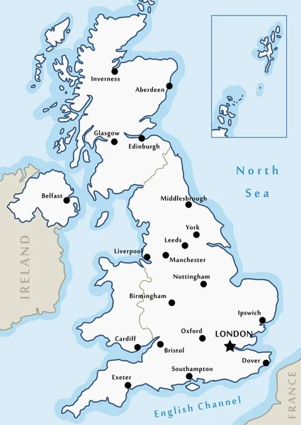
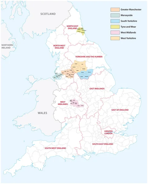
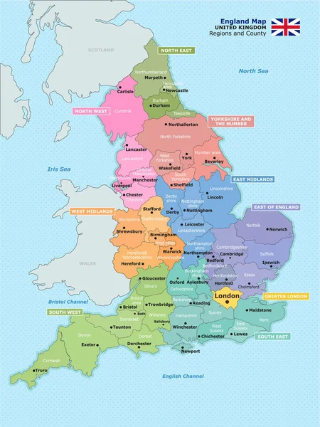
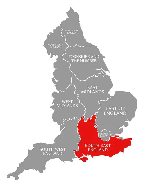
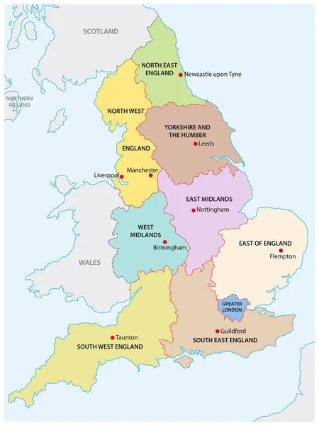
Stock vector outline map of the nine regions of England
Published: Nov.08, 2016 16:38:19
Author: Lesniewski
Views: 1994
Downloads: 25
File type: vector / eps
File size: 0.82 MB
Orginal size: 3100 x 4130 px
Available sizes:
Level: bronze