
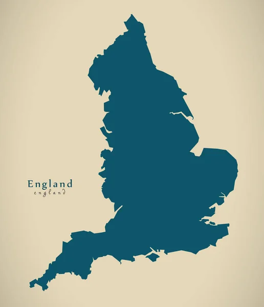
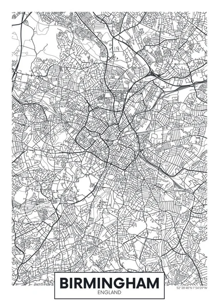
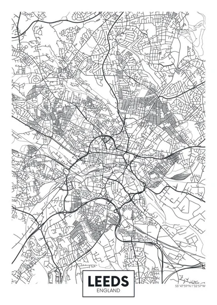
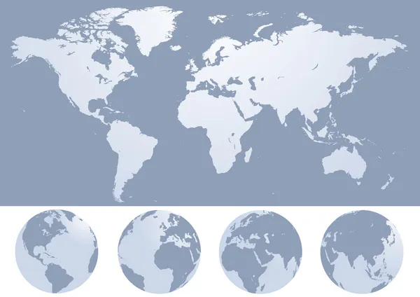
Stock image England Region Map
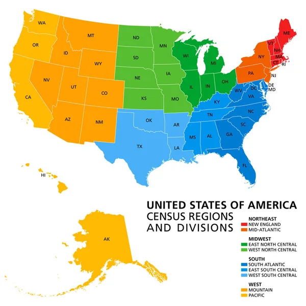
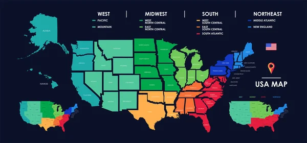
United States, Census Regions And Divisions, Political Map. Region Definition Widely Used For Data Collection And Analysis. The Most Commonly Used Classification System. English. Illustration. Vector.
Vector, 3.89MB, 6000 × 6000 eps
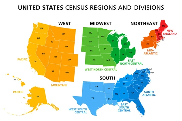
Map Of United States Split Into Census Regions And Divisions. Region Definition, Widely Used For Data Collection And Analysis. Most Commonly Used Classification System. English. Illustration. Vector
Vector, 3.06MB, 9000 × 6000 eps

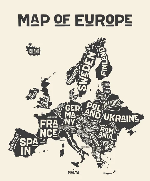
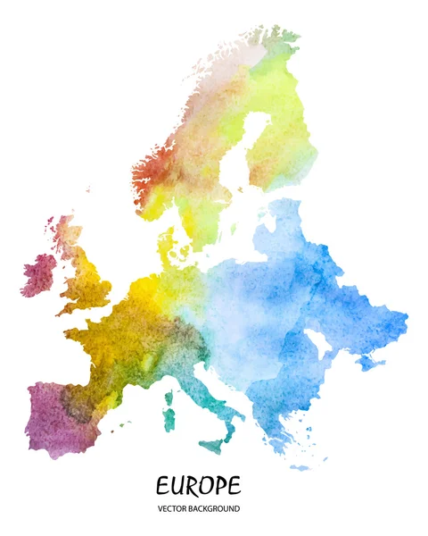
Europe, Map. Poster Map Of The Europe With Country Names. Print Map Of Europe For Web And Polygraphy On Business, Economic, Political, Geography Themes. Vector Illustration
Vector, 1.34MB, 4162 × 5000 eps

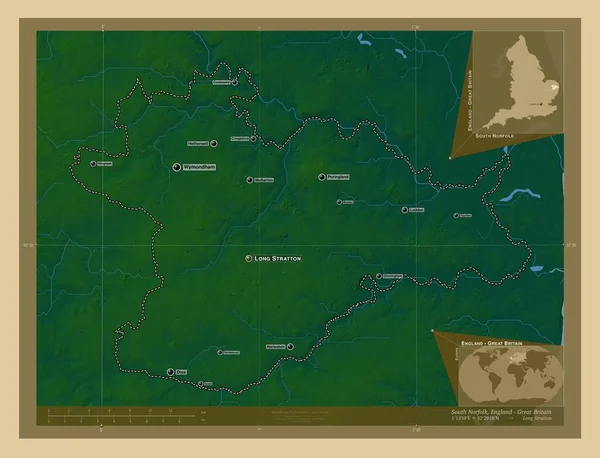
South Norfolk, Non Metropolitan District Of England - Great Britain. Colored Elevation Map With Lakes And Rivers. Locations And Names Of Major Cities Of The Region. Corner Auxiliary Location Maps
Image, 6.44MB, 4930 × 3770 jpg


Highly Detailed Vector Silhouettes Of US State Maps, Division United States Into Counties, Political And Geographic Subdivisions Of A States, New England - Vermont, New Hampshire, Maine - Set 1 Of 17
Vector, 9.87MB, 9608 × 4501 eps

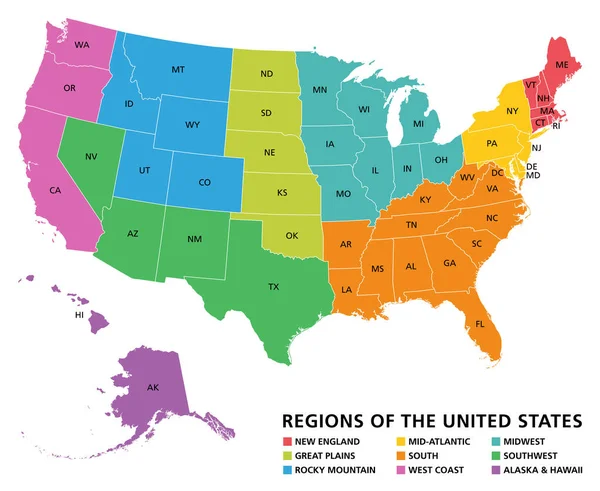
Regions Of The United States Of America, Political Map. The Nine Regions New England, Great Plains, Rocky Mountain, Mid Atlantic, South, West Coast, Midwest, Southwest, Alaska And Hawaii. Illustration
Vector, 3.42MB, 7322 × 6000 eps


Political Map Of Europe. Abstract Blurred Background. Vector Illustration.
Vector, 2.13MB, 5905 × 5905 eps

Detailed Map Of US Regions, Isolated States With Names, Colorful Infographics Of The United States Of America, Vector Illustration
Vector, 8.08MB, 11205 × 5237 eps


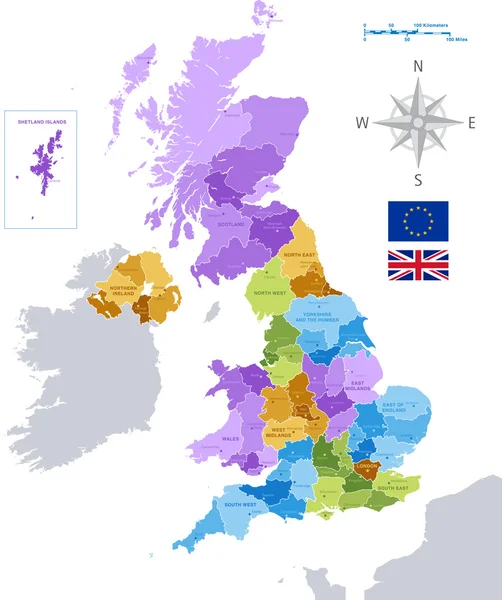


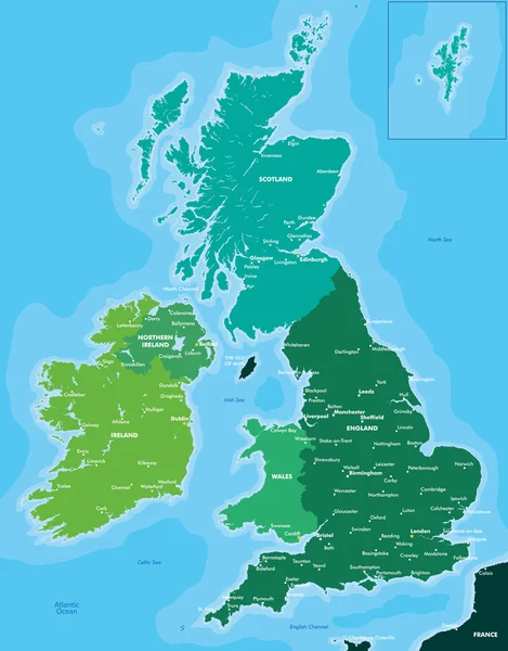
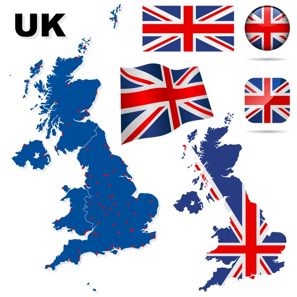
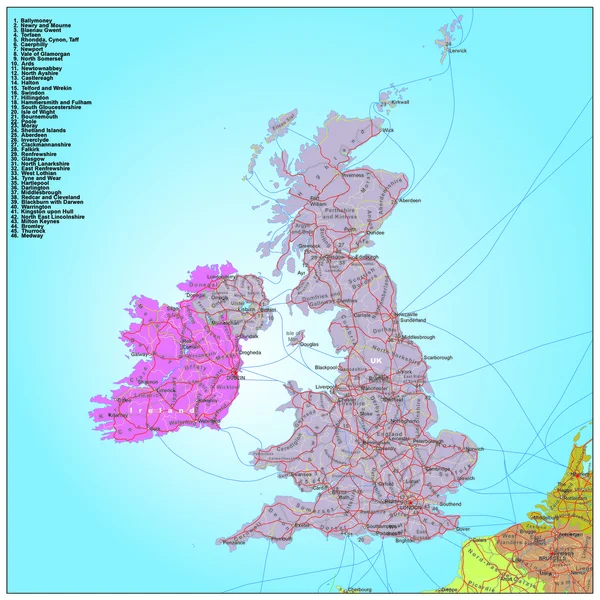
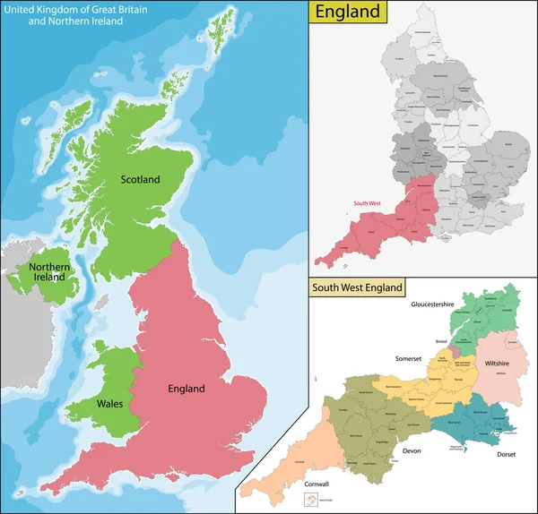
The Detailed Map Of The United Kingdom With Regions Or States And Cities, Capitals. Actual Current Relevant UK, Great Britain Administrative Devision.
Vector, 2.56MB, 5000 × 6500 eps

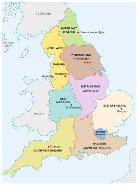
England Map With Borders, Cities, Capital And Administrative Divisions. Infographic Vector Map. Editable Layers Clearly Labeled.
Vector, 2.68MB, 3000 × 3000 eps
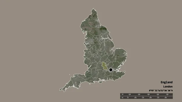
Desaturated Shape Of England With Its Capital, Main Regional Division And The Separated Buckinghamshire Area. Labels. Satellite Imagery. 3D Rendering
Image, 0.98MB, 2880 × 1620 jpg


Europe, Map. Poster Map Of The Europe With Country Names. Print Map Of Europe For Web And Polygraphy On Business, Economic, Political, Geography Themes. Vector Illustration
Vector, 1.24MB, 4000 × 4000 eps

Page 1 >> Next