Home
Images
Vectors
Videos
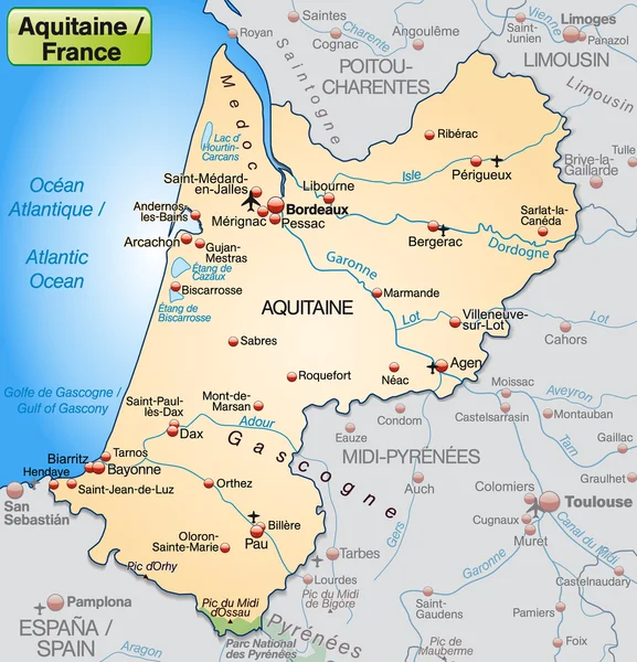
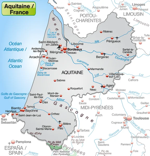
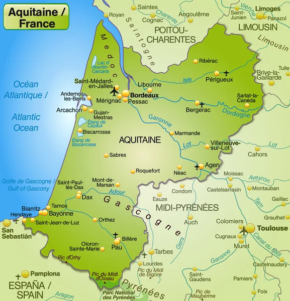
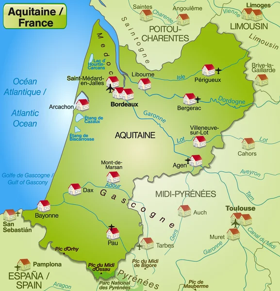
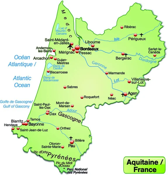
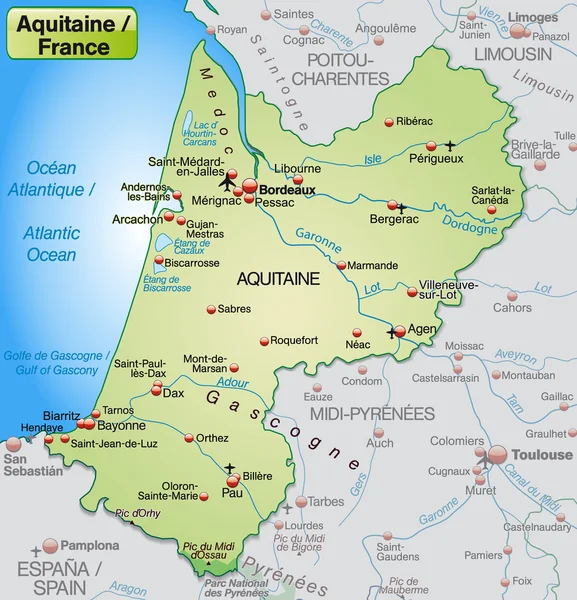
Stock vector Map of aquitaine
Published:
Feb.18, 2014 22:40:37
Author:
artalis
Views:
384
Downloads:
1
File type:
vector
/
ai
File size:
2.03 MB
Orginal size:
3922
x
4079
px
Available sizes:
S
(481 x 500)
M
(962 x 1000)
L
(1923 x 2000)
XL
(3922 x 4079)
VECT
(3922 x 4079)
EL0
(3922 x 4079)
Level:
bronze
Download Vector
Vector topics:
Green
Vector
Background
Illustration
Design
Environment
Border
Card
Pastel
Countryside
Information
Web
France
In
Country
Site
Map
Cartography
Plan
National
Overview
State
General
Chart
Countries
Borders
Of
Surrounding
Department
Bordeaux
De
Orientation
An
As
Mont
Cartographer
Pau
Neighboring
Aquitaine
Perigueux
Agen
Bayonne
Departments
Marsan
Similar stock vectors
Map Of Aquitaine
3922 × 4079
Map Of Aquitaine
3922 × 4079
Map Of Aquitaine
3922 × 4079
Map Of Aquitaine
3922 × 4079
Map Of Aquitaine
4016 × 4172
Map Of Aquitaine
4016 × 4172
Island Map Of Aquitaine, Map
6960 × 7264
Aquitaine In France As An Island Map (the Area Is Optional) With All Important Topographic Information In Pastel Orange. Thanks To Its Appealing Design,the Card Fits Perfectly Into Your Project.
6960 × 7264