Home
Images
Vectors
Videos
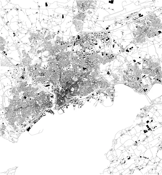
Stock vector Map of Brest, France, satellite view, black and white map. Street directory and city map
Published:
Oct.05, 2018 07:03:35
Author:
vampy1
Views:
22
Downloads:
0
File type:
vector
/
eps
File size:
15.23 MB
Orginal size:
2913
x
3143
px
Available sizes:
S
(463 x 500)
M
(927 x 1000)
L
(1854 x 2000)
XL
(2913 x 3143)
VECT
(2913 x 3143)
EL0
(2913 x 3143)
Level:
silver
Download Vector
Vector topics:
Design
Shape
Business
Travel
Silhouette
Old
City
Street
Earth
World
France
Tourism
Detailed
Cityscape
Capital
Skyline
Outline
Country
Map
Cartography
Geography
National
History
State
Tour
Location
Place
Political
Administrative
Brest
Region
Roads
Central
Streets
Maps
Atlas
Nation
County
Divisions
Routes
Districts
Satellite View
Similar stock vectors
Streets Of Palermo, Map Of The City, Regional Capital, Sicily, Italy. Street
5809 × 4992
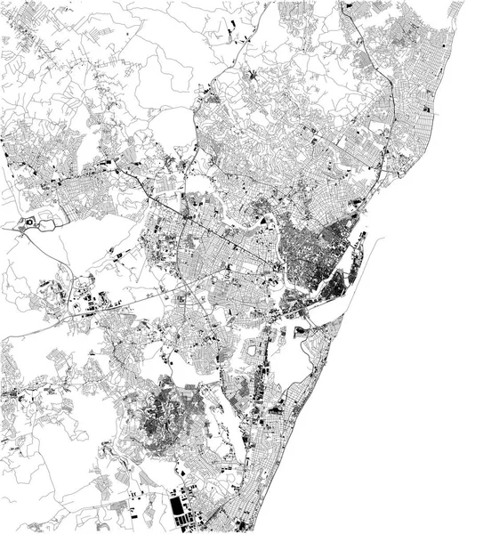
Satellite Map Of Panama City, Panama, City Streets. Street Map, City Center. South America
6703 × 5380
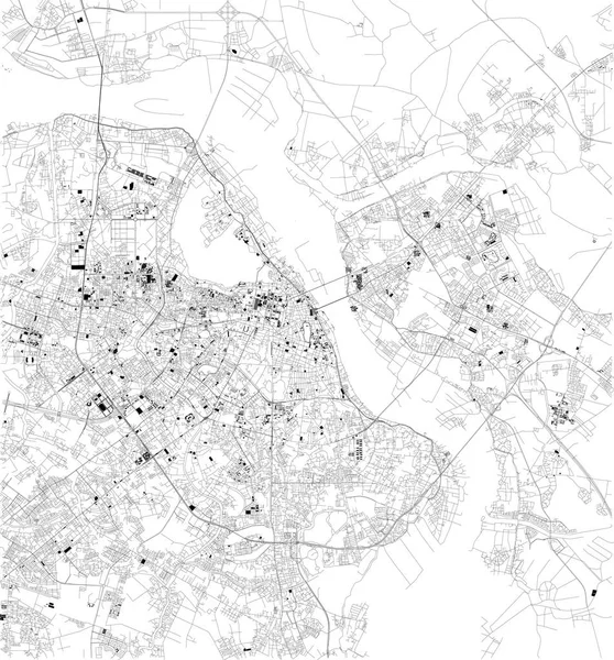
Satellite Map Of Copenaghen, Denmark. City Streets. Street Map And Map Of The City Center
4724 × 4763
Satellite Map Of Adalia, Turkey, City Streets. Street Map, City Center. Asia
10659 × 5992
Satellite Map Of Belo Horizonte, Brazil. South America. Map Of Streets And Buildings Of The Town Center
8268 × 7792
Satellite Map Of Recife, It Is Is The Fourth-largest Urban Agglomeration In Brazil. Map Of Streets And Buildings Of The Town Center
5906 × 6516
Satellite Map Of Hanoi, Vietnam, City Streets. Street Map, City Center. Asia
7579 × 8146
Satellite Map Of Yangon, Myanmar, City Streets. Street Map, City Center. Asia
7476 × 7796