Home
Images
Vectors
Videos
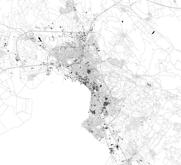
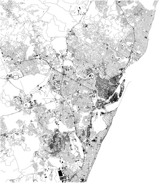
Stock vector Satellite map of Recife, it is is the fourth-largest urban agglomeration in Brazil. Map of streets and buildings of the town center
Published:
Aug.01, 2019 12:39:20
Author:
vampy1
Views:
40
Downloads:
2
File type:
vector
/
eps
File size:
19.16 MB
Orginal size:
5906
x
6516
px
Available sizes:
S
(453 x 500)
M
(906 x 1000)
L
(1813 x 2000)
XL
(5906 x 6516)
VECT
(5906 x 6516)
EL0
(5906 x 6516)
Level:
silver
Download Vector
Vector topics:
White
Background
Design
Isolated
Sign
Travel
Transportation
Black
Border
Traffic
Symbol
Architecture
Building
City
Urban
Lines
Information
Attention
Highway
Landmark
Outline
Country
District
Map
Warning
Buildings
Chart
Poster
Touristic
Destination
Welcome
Republic
Signpost
Brazil
Atlas
Democratic
Ministry
Recife
Top View
South America
Aerial View
City Map
Satellite Map
Similar stock vectors
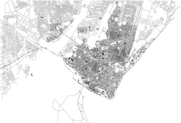
Satellite Map Of Panama City, Panama, City Streets. Street Map, City Center. South America
6703 × 5380
Streets Of Palermo, Map Of The City, Regional Capital, Sicily, Italy. Street
5809 × 4992
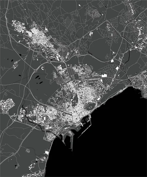
Map Of Brest, France, Satellite View, Black And White Map. Street Directory And City Map
2913 × 3143
Satellite Map Of Thessaloniki, It Is Is The Second-largest City In Greece. Map Of Streets And Buildings Of The Town Center. Europe
7773 × 7106
Streets Of Maputo, Map Of The City, Capital, Mozambique. Street. Africa. Unban Area And Houses
6659 × 4530
Map Of The City Of Alicante, Spain
3537 × 4254
Map Of Tangier, Satellite View, City, Morocco. Street And Building
6824 × 4908
Satellite Map Of Krasnoyarsk, Siberia, Russia. It Is A City And The Administrative Center Of Krasnoyarsk Krai, Russia, Located On The Yenisei River. Map Of Streets And Buildings Of The Town Center. Asia
7087 × 6480