Home
Images
Vectors
Videos
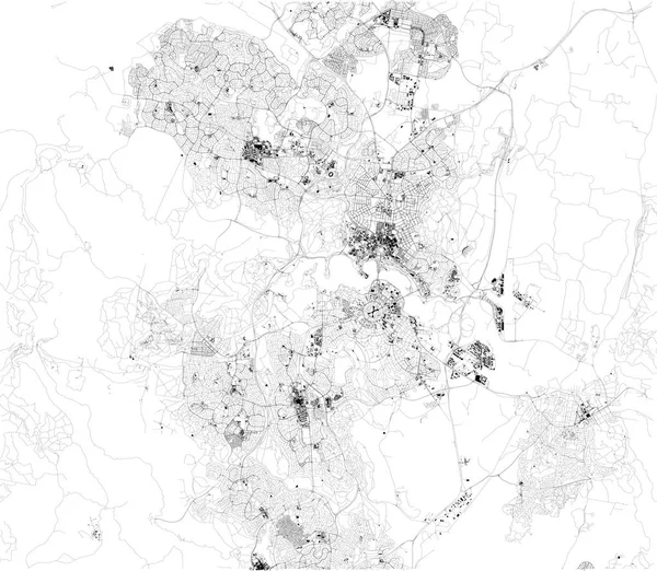
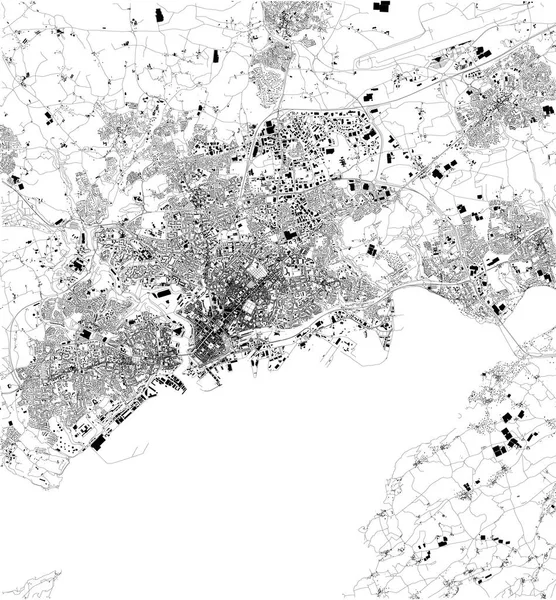
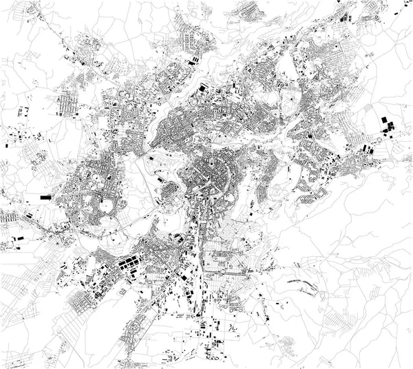
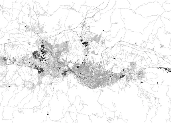
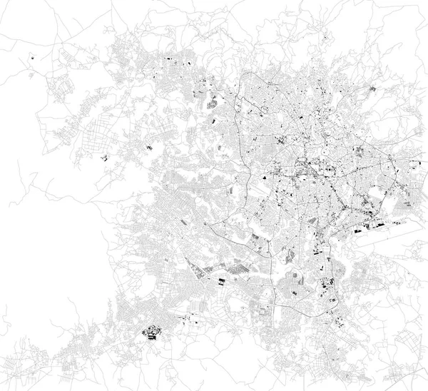
Stock vector Satellite map of Belo Horizonte, Brazil. South America. Map of streets and buildings of the town center
Published:
Aug.01, 2019 06:33:05
Author:
vampy1
Views:
7
Downloads:
0
File type:
vector
/
eps
File size:
12.54 MB
Orginal size:
8268
x
7792
px
Available sizes:
S
(500 x 471)
M
(1000 x 942)
L
(2000 x 1885)
XL
(8268 x 7792)
VECT
(8268 x 7792)
EL0
(8268 x 7792)
Level:
silver
Download Vector
Vector topics:
White
Background
Design
Isolated
Sign
Travel
Transportation
Black
Border
Traffic
Symbol
Architecture
Building
City
Urban
Lines
Information
Attention
Highway
Landmark
Outline
Country
District
Map
Warning
Buildings
Chart
Poster
Touristic
Destination
Welcome
Republic
Signpost
Brazil
Atlas
Democratic
Ministry
Top View
South America
Aerial View
City Map
Belo Horizonte
Satellite Map
Similar stock vectors
Satellite Map Of Bursa. It Is A Large City In Turkey, Located In Northwestern Anatolia. Map Of Streets And Buildings Of The Town Center. Asia
7773 × 5600
Satellite Map Of Addis Ababa, It Is The Capital And Largest City Of Ethiopia. Africa. Map Of Streets And Buildings Of The Town Center.
10798 × 9873
Satellite Map Of Odense Municipality. It Is A Danish Municipality (kommune) In Region Of Southern Denmark On The Island Of Funen In Central Denmark. Map Of Streets And Buildings Of The Town Center. Europe
6299 × 5774
Map Of Nicosia And Strovolos, Satellite View, City, Cyprus. Turkish Part And Greek Part Of The Urban Area
5784 × 4992
Satellite Map Of Canberra. It Is The Capital City Of Australia. Map Of Streets And Buildings Of The Town Center. Asia
8098 × 7050
Map Of Brest, France, Satellite View, Black And White Map. Street Directory And City Map
2913 × 3143
Satellite Map Of Dublin, Ireland, City Streets. Street Map, City Center
6029 × 3995
Satellite Map Of Yerevan. It Is The Capital And Largest City Of Armenia. Situated Along The Hrazdan River. Map Of Streets And Buildings Of The Town Center. Asia
6299 × 5627