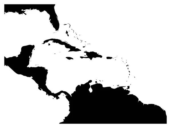
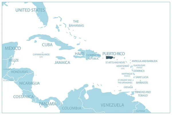
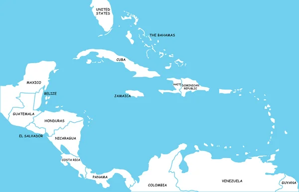
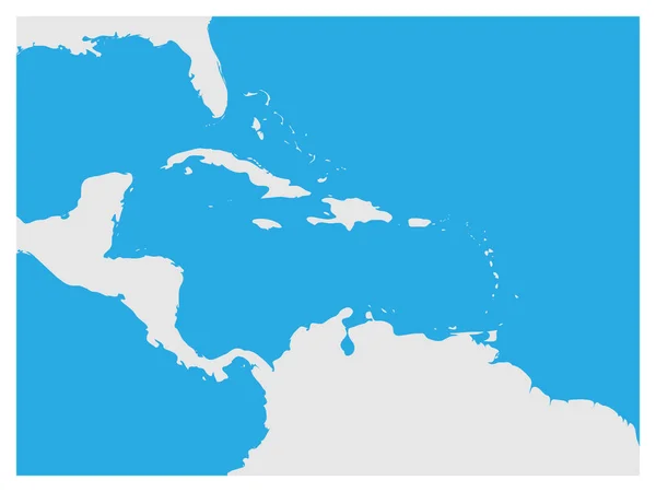
Stock vector Map of Caribbean region and Central America. Grey land silhouette and blue water background. Simple flat vector illustration
Published: May.15, 2017 05:52:36
Author: pyty
Views: 235
Downloads: 1
File type: vector / eps
File size: 0.41 MB
Orginal size: 8000 x 6000 px
Available sizes:
Level: silver