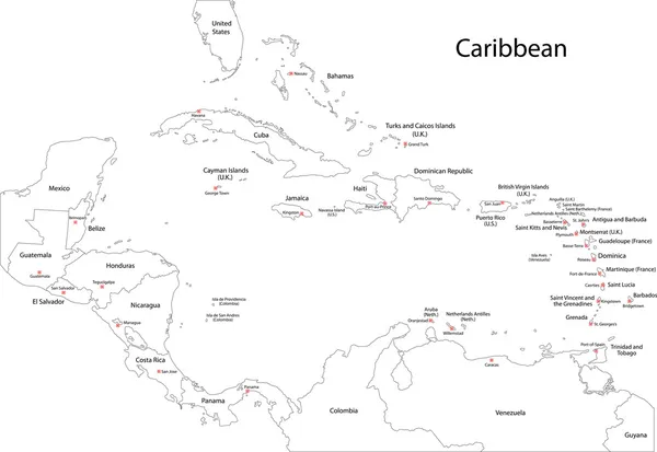
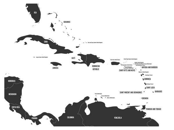
Stock vector Map of Central America and Caribbean. Handdrawn doodle style. Vector illustration

Published: Dec.10, 2019 16:29:07
Author: pyty
Views: 195
Downloads: 2
File type: vector / eps
File size: 2.79 MB
Orginal size: 6000 x 4000 px
Available sizes:
Level: silver
Similar stock vectors
Political Map Of Carribean. Gray Lands On White Background. Simple Flat Vector Illustration
6000 × 4500